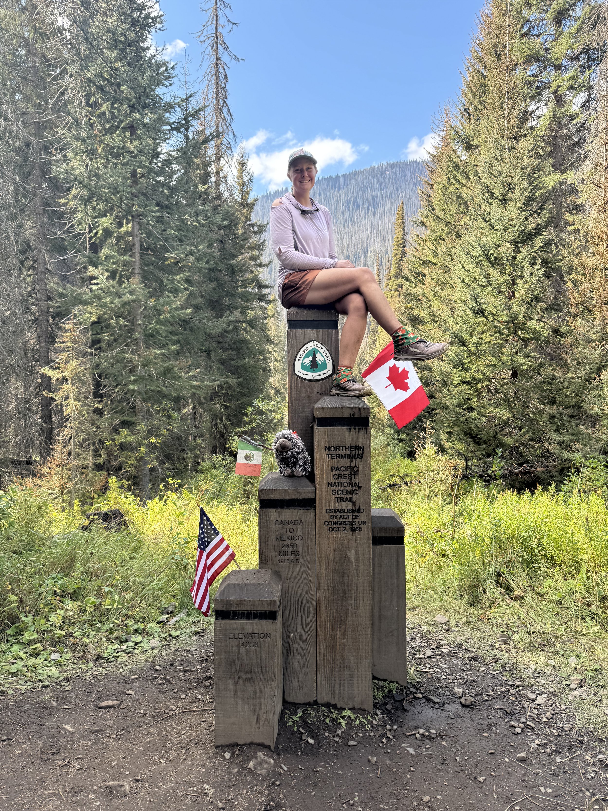
Vermont Long Trail
Time to Hike!
It’s time for another adventure! It’s been a while. It’ll have been close to 3 months since my last trip. I know, not really that long, but I’m ready to hike again. This time, I’d headed to Vermont (VT) to take on the Long Trail (LT).
The Trail
The Vermont Long Trail is the OG of long trails in the US. It’s the first and oldest, having been completed in the early 1900s. It travels 272 miles over the highest points in the Green Mountains crossing the entirety of VT North-South, or as I plan to travel, south from Massachusetts north to Canada. I’ve heard this trail is tough. There’s a lot of elevation gain in short distances with some scrambling and ladders farther north. It will be a challenge for sure, but I feel like my short trip in the ADK High Peaks has me ready for what this trail will throw at me.
So, you may be asking what I’ve done to prep for this trail.
Physical Training Prep
I haven’t been doing anything extra here for the LT, which doesn’t mean I haven’t been doing anything, just not LT specific. I’m currently training to run (at a leisurely pace) a 50k at the end of October, so I’ve been running 5-6 days a week and weight lifting 2 of those days as well. I did throw in a few stair stepper activities a month back, but those fell off as the running picked up and I got busy starting up a renovation project. My house is pretty old (1890's Victorian).
Mental Prep
This category will largely rely on my past experience and the success I had on my ADK peak bagging trip. I gained so much confidence in scrambling that I feel ready for the LT. As a whole, I know how long trips can go and the mental grind that comes with them. I’m ready for that and have a few books and music downloaded for when I want an escape. The one thing I don't have as much experience with is days on end of backpacking in rain. Vermont in Appalachian Trail culture is known as “Vermud”. I’m used to the fall being the least wet season, but even so, the forecast is looking damp, 4 of the first 7 days are calling for rain. Time will tell.
I’ve also needed to mentally prepare for shorter mile days. I expect most days it will be difficult to hit the 17 or so miles I plan to make. It’s crazy that 17 miles will be a big day on the Long Trail when on the PCT my big days were all over 30 miles. The elevation gain per mile can be intense. My ADK hike helped bring me back down to reality. That first day, I barely made 12.5 miles in the 13 hours of hiking, granted there was 6500’ of gain on that day and a lot of scrambling. I have plenty of time though and don’t need to rush if I don’t want to.
Planning
Luckily this trail is pretty easy for me to plan for. I have lots of family out East and they kindly offered to drive me to the start and from the finish, though my spouse may be the one to pick me up at the Canadian border!
The most planning for me involved my beloved spreadsheet, making a list of possible resupplies and shelters along the trail and deciding roughly which towns require the least effort to get into. I don’t want to hitch hike if I don’t have to. I’m planning on making 3 stops along the way to Canada while staying open to the idea of going into others; the trail passes through quite a few ski resorts.
I also made the usual gpx file on onX so I can upload the route on my Garmin watch and have an app outside of FarOut, just in case. I’ll also bring a paper map I picked up while perusing The Mountaineer in Keene Valley, NY. It’s fun to work on orienteering skills and there’s something nice about having all the information in one spot that doesn’t require scrolling around on a 5” screen.
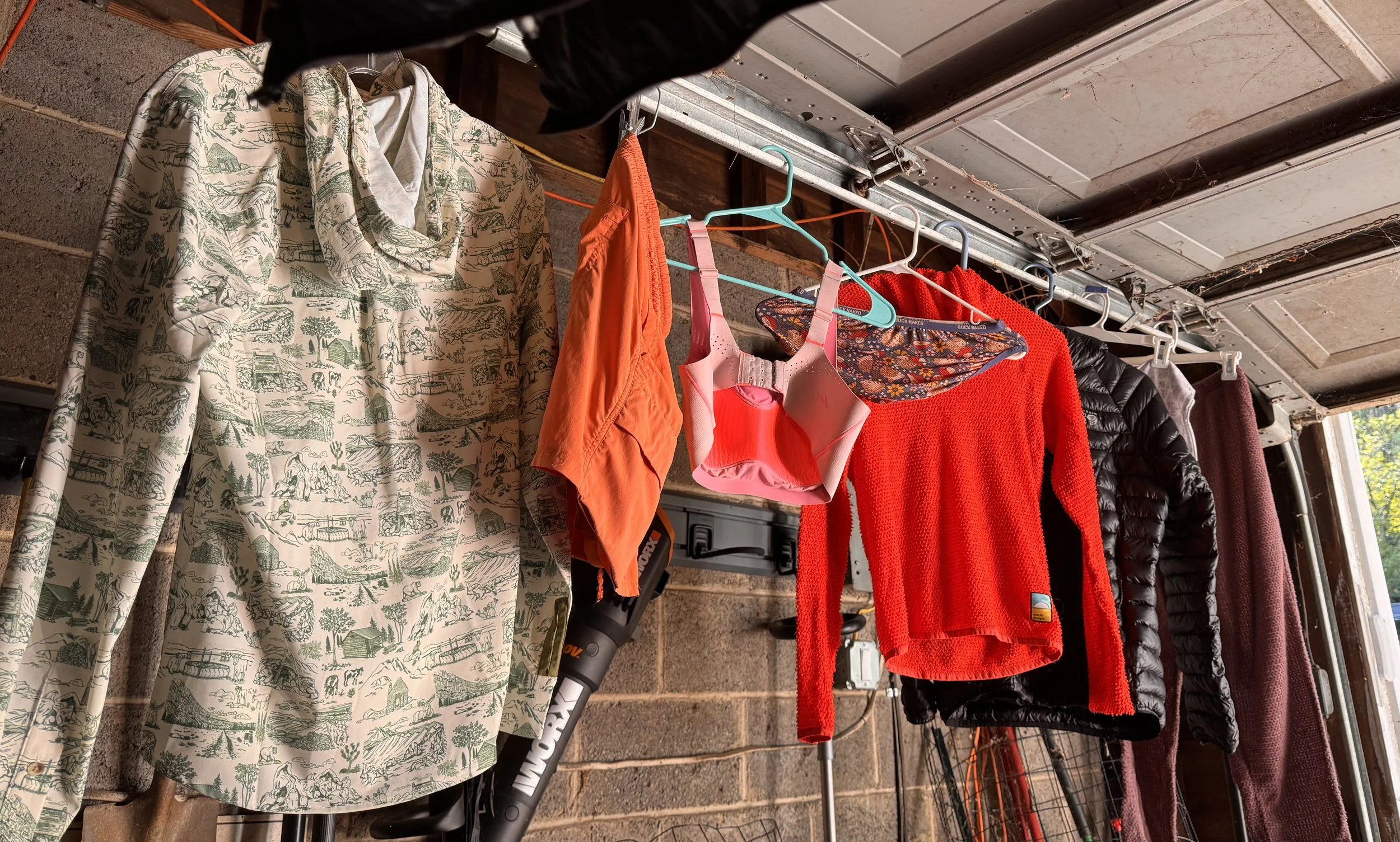
The remaining things I’ve done to prep are booking a hotel in one of the early towns and mailing a resupply box, not necessary, but I have a lot of supplies at home, may as well use them. As with every hike, I’ve treated my gear with permethrin for any lingering ticks out there.
Packing
I’ll largely be using gear I’ve used on all my other hikes with the exception of the backpack. I bought a custom LiteAF in hopes that this will finally be the one that works for me. I’ve had problems with most packs being just a little too long which doesn’t sounds like much of a problem, but over hundreds of miles it can lead to shoulder pain from the weight not distributed well and chaffing. They actually make a pack that has an XS torso size! It fits so far, but this hike will be the test and act as a shake down for the Continental Divide Trail next year (current plan that could change).
What’s in my pack this time
I’ll be bringing some warmer items than I did on the AZT. While that trail did get cold, it wasn’t for many days in a row. This one will be starting in the 30s most night with daytime highs in the 60s, and only getting colder as it gets later in the season.
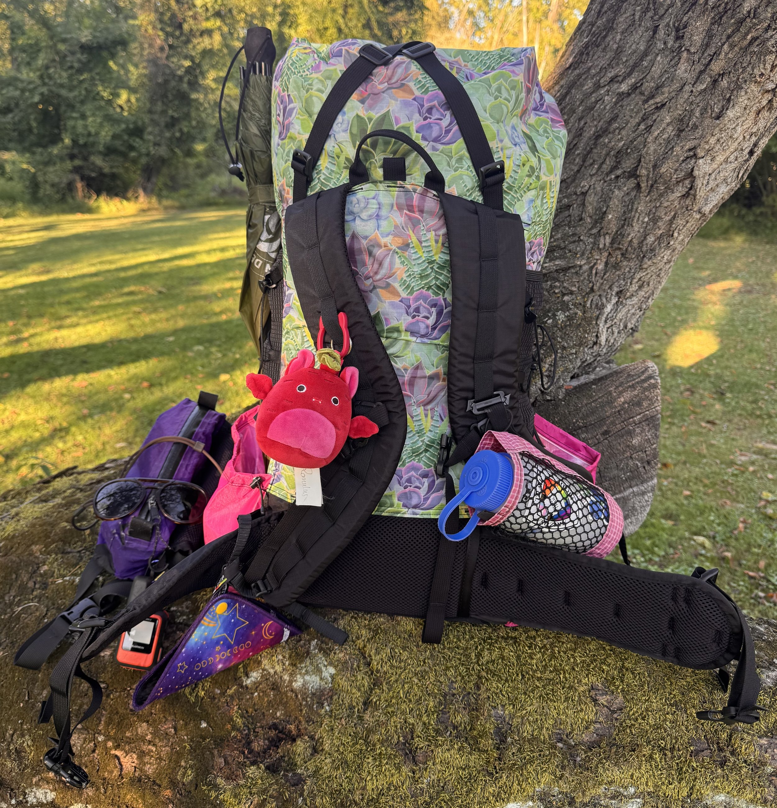
Loaded and ready to go
Big Items
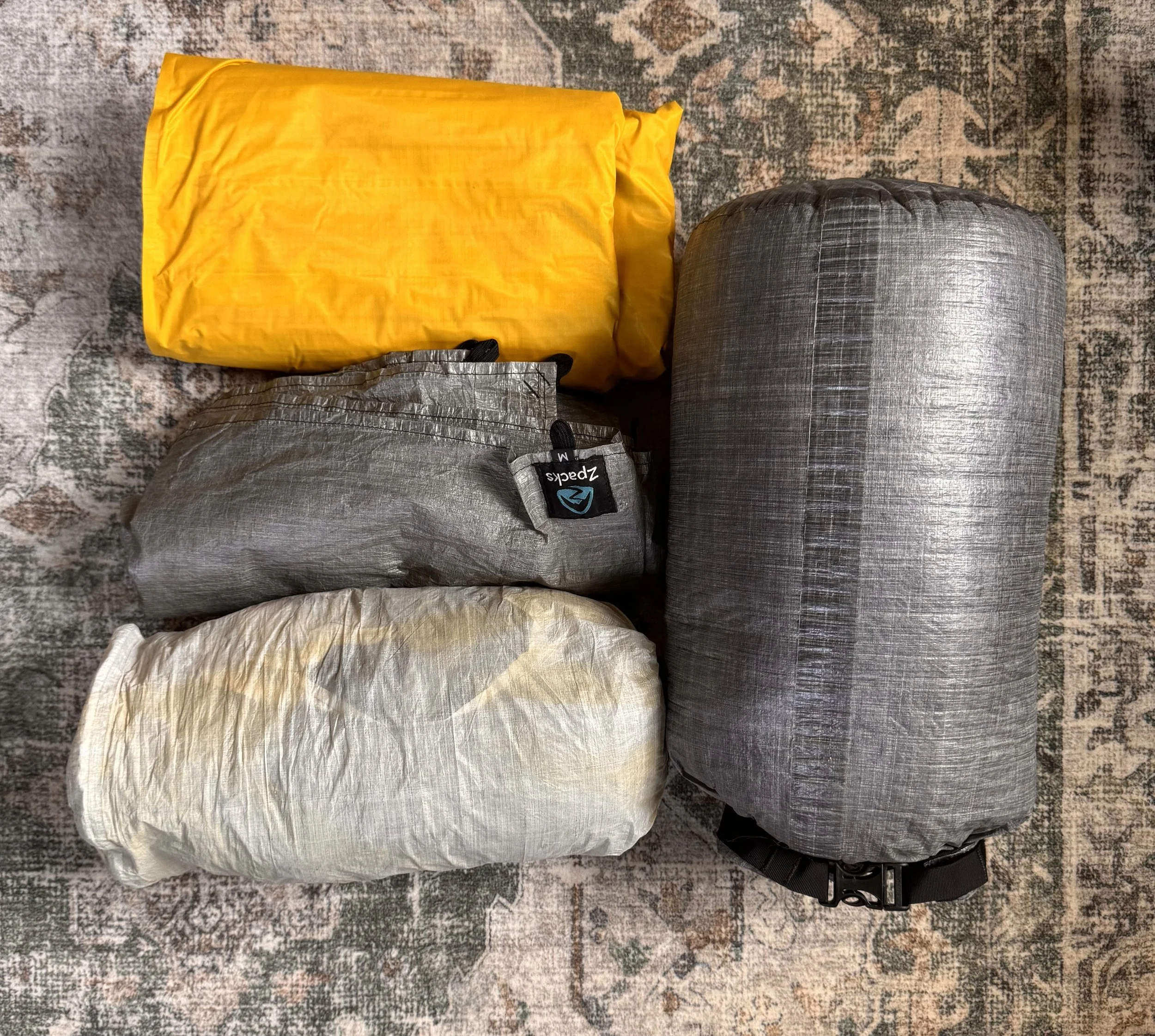
Thermarest nxt, ground sheet, Plex Solo lite with stakes, Katabatic quilt in stuff sack
Spare clothes
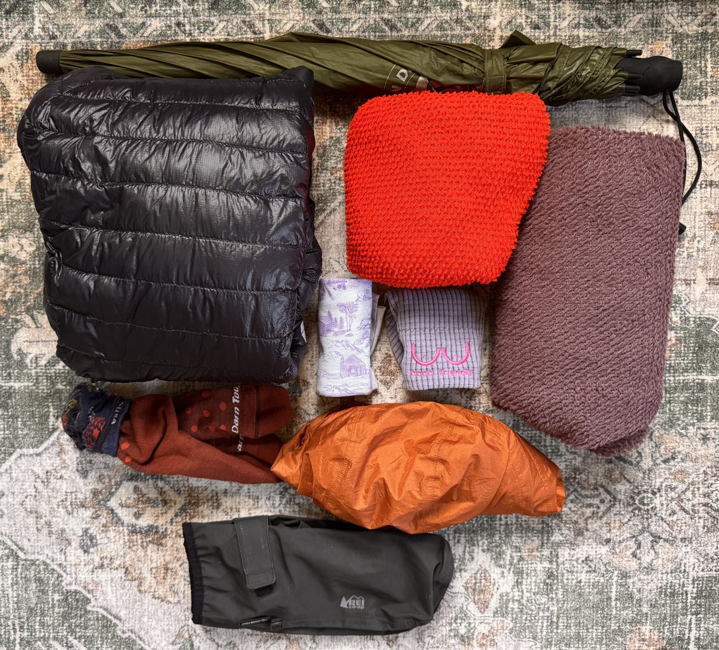
Puffy, fleece top and pants, buff, hat, socks, rain mitts, umbrella, rain jacket (will actually use a different one)
Safety
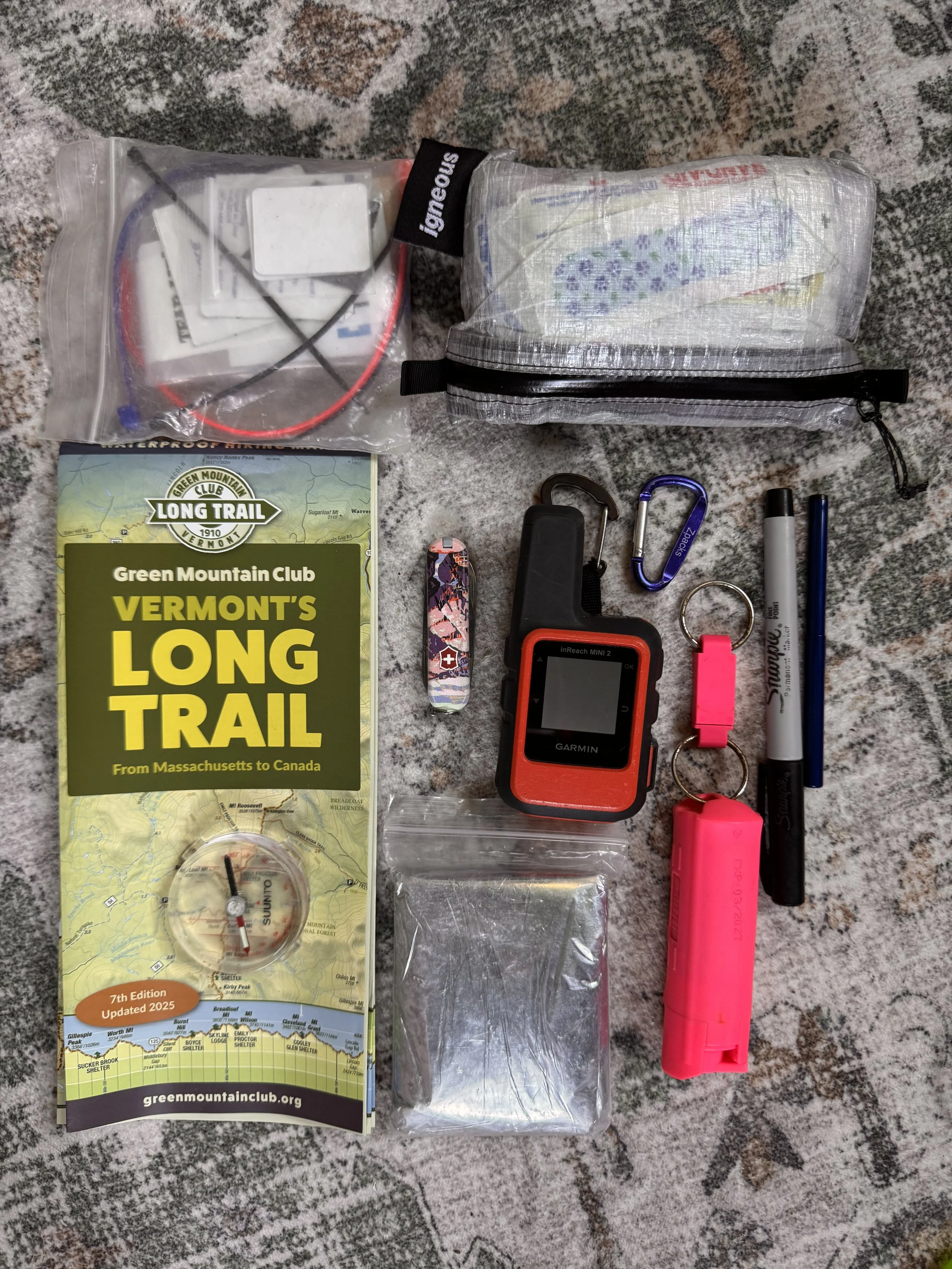
Repair kit, 1st aide kit, map and compass, mylar blanket, pepper spray, knife, Garmin, pen, sharpie
Kitchen
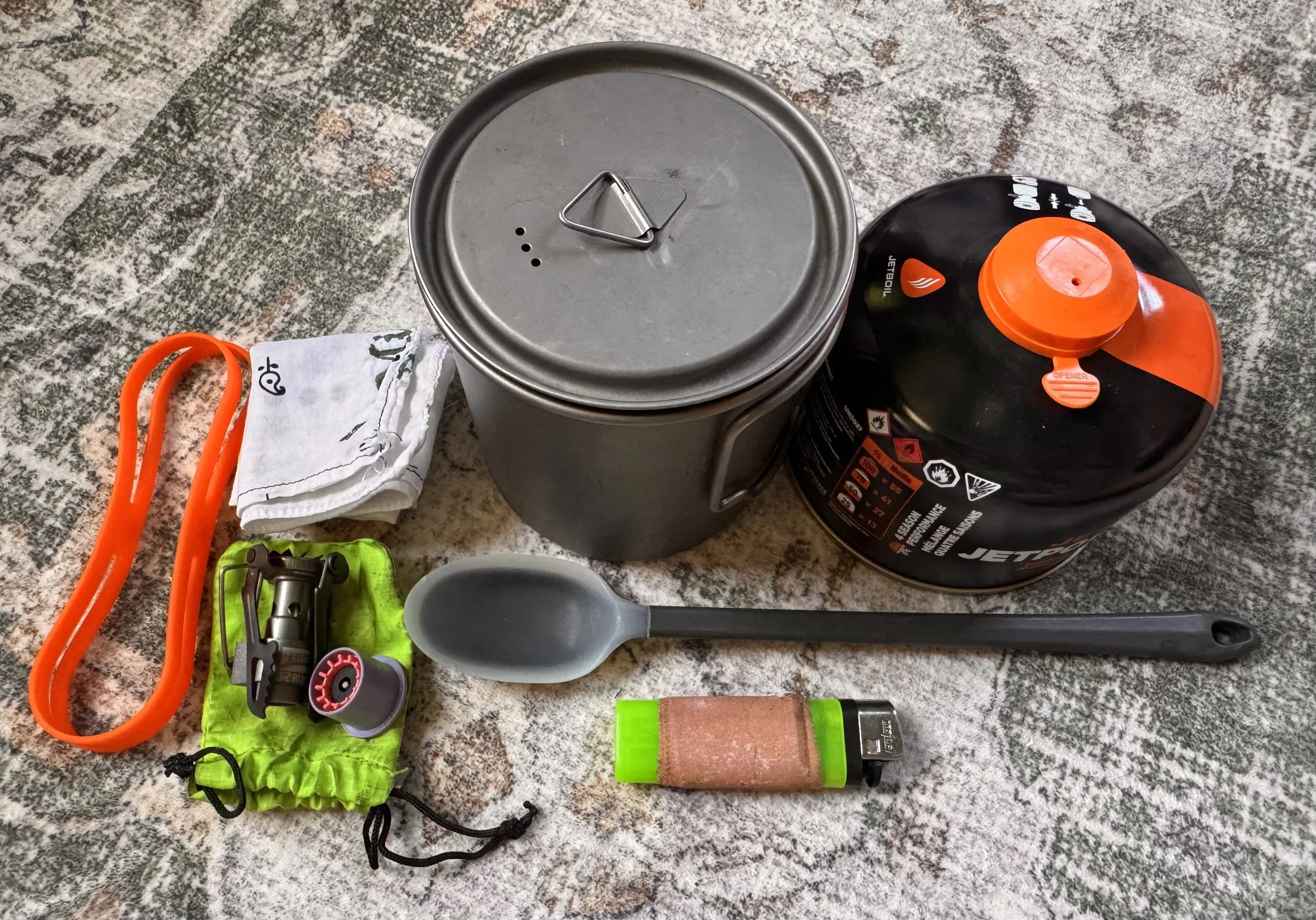
Cook pot, fuel, spoon, lighter, cloth, band to hold lit on in pack, stove, fuel transfer device (probably won’t bring if I have that giant fuel can)
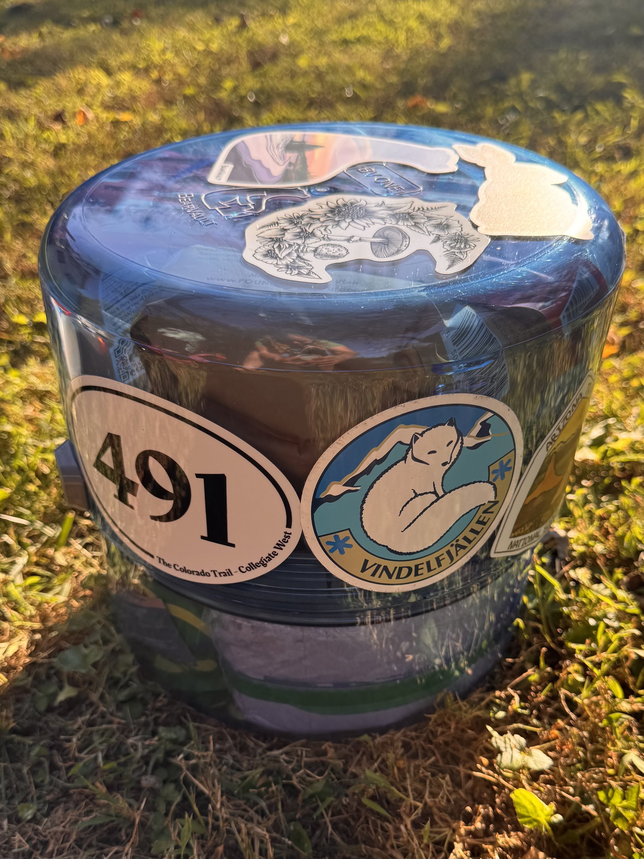
Bear canister; I’ll be bringing close to 7 days of food for the first stretch
Toiletries
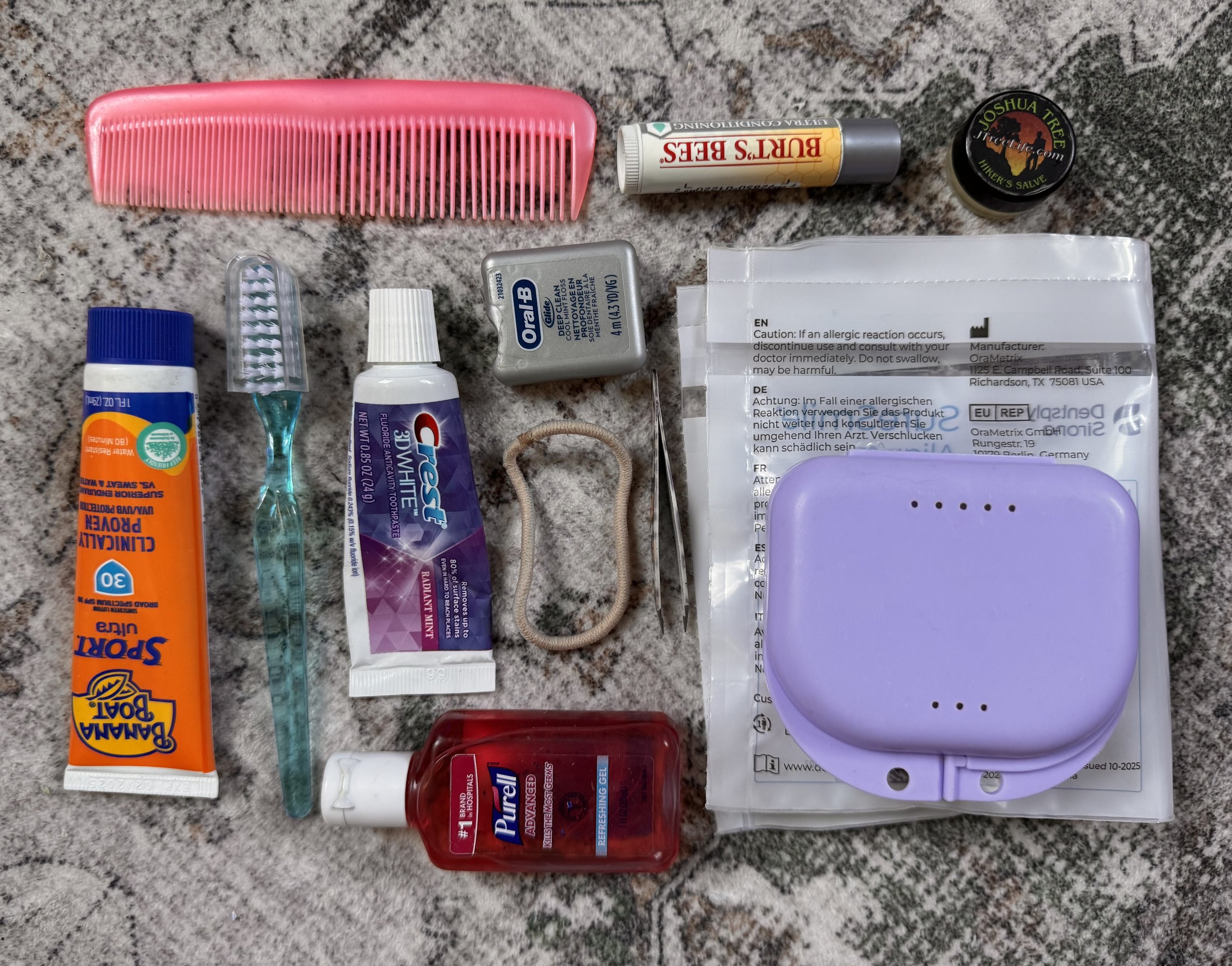
Sunscreen, toothbrush, toothpaste, floss, hand sanitizer, hair tie, tweezers, comb, chapstick, balm, retainers and case
Bathroom
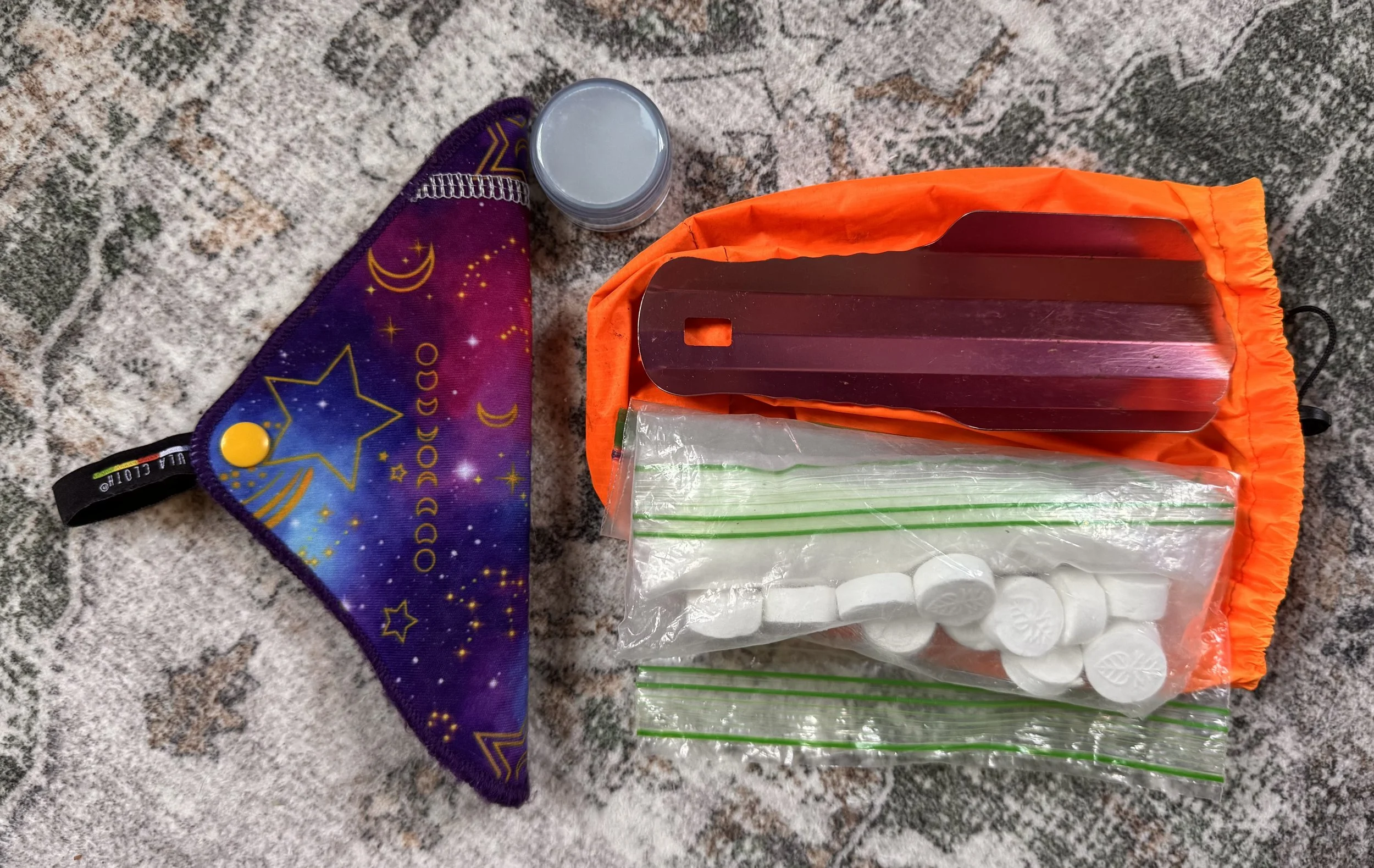
Kuka cloth, soap, wipes that expand in water, trash bag, tp (more for bloody noses at this point), trowel, bag to hold it all
Electronics
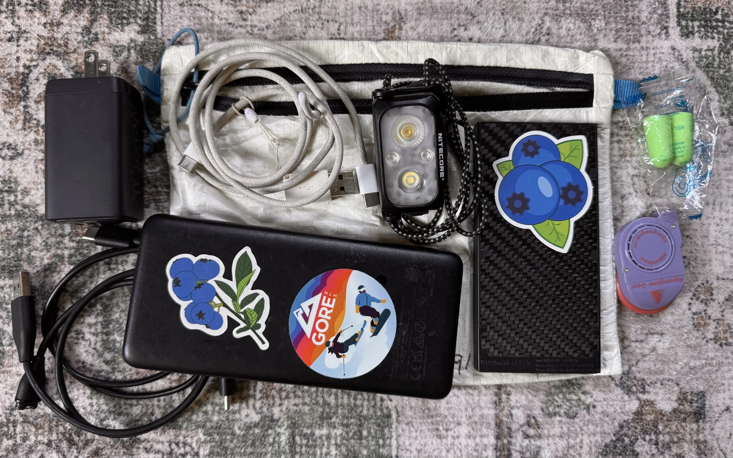
Wall plug, 3 cords (Garmin watch, USB C to A/C, USB C to C), headlamp, 2 battery banks (maybe leave one home?), pad pump, earplugs, bag to hold it all
Not pictured: headphones, phone, Garmin watch
Water
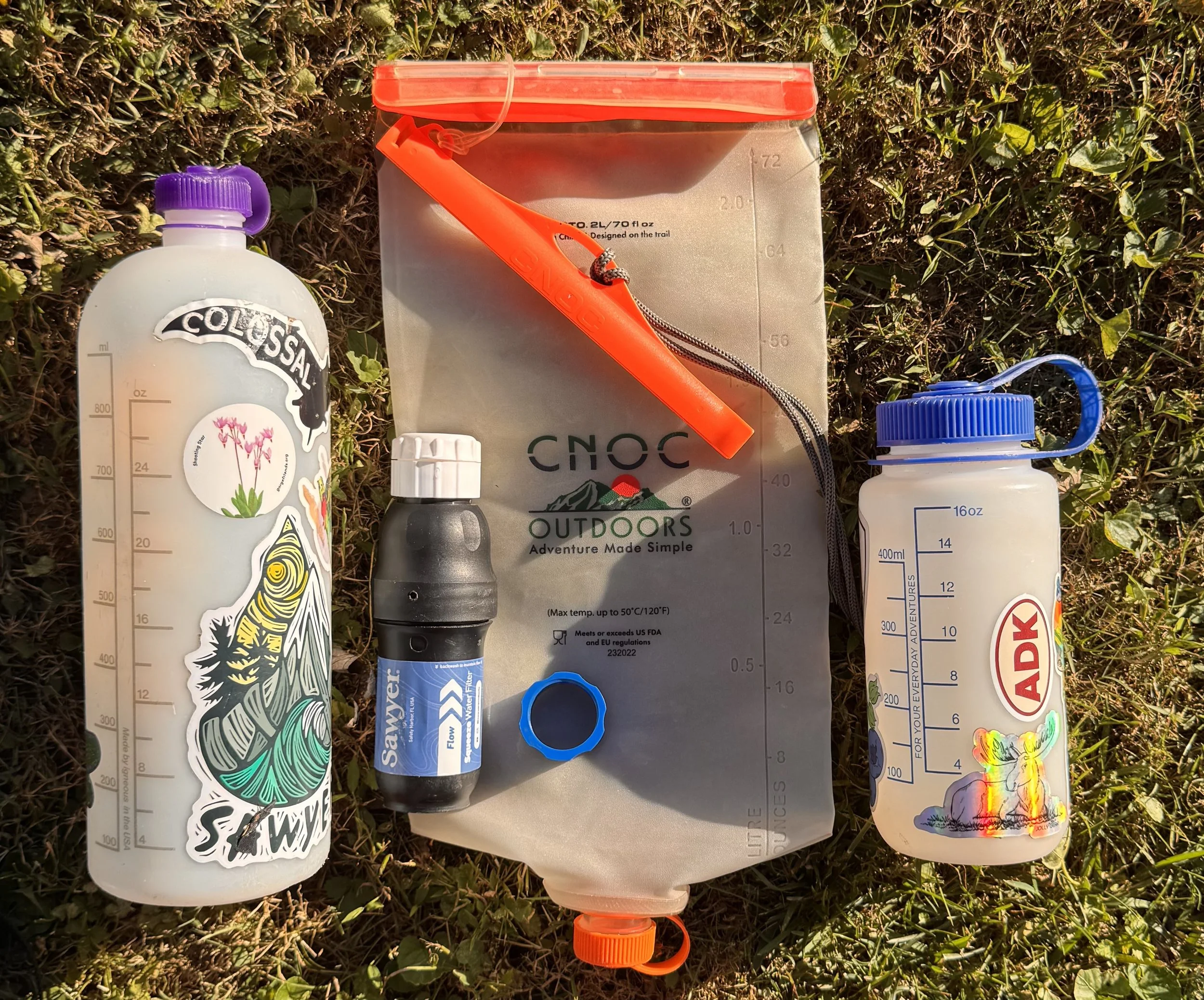
Bladder, filter with coupler, 1L bottle, 1/2L bottle
Stay tuned for future posts as I get further along on the trail! Posts typically release Mondays and/or Wednesdays 1200est.