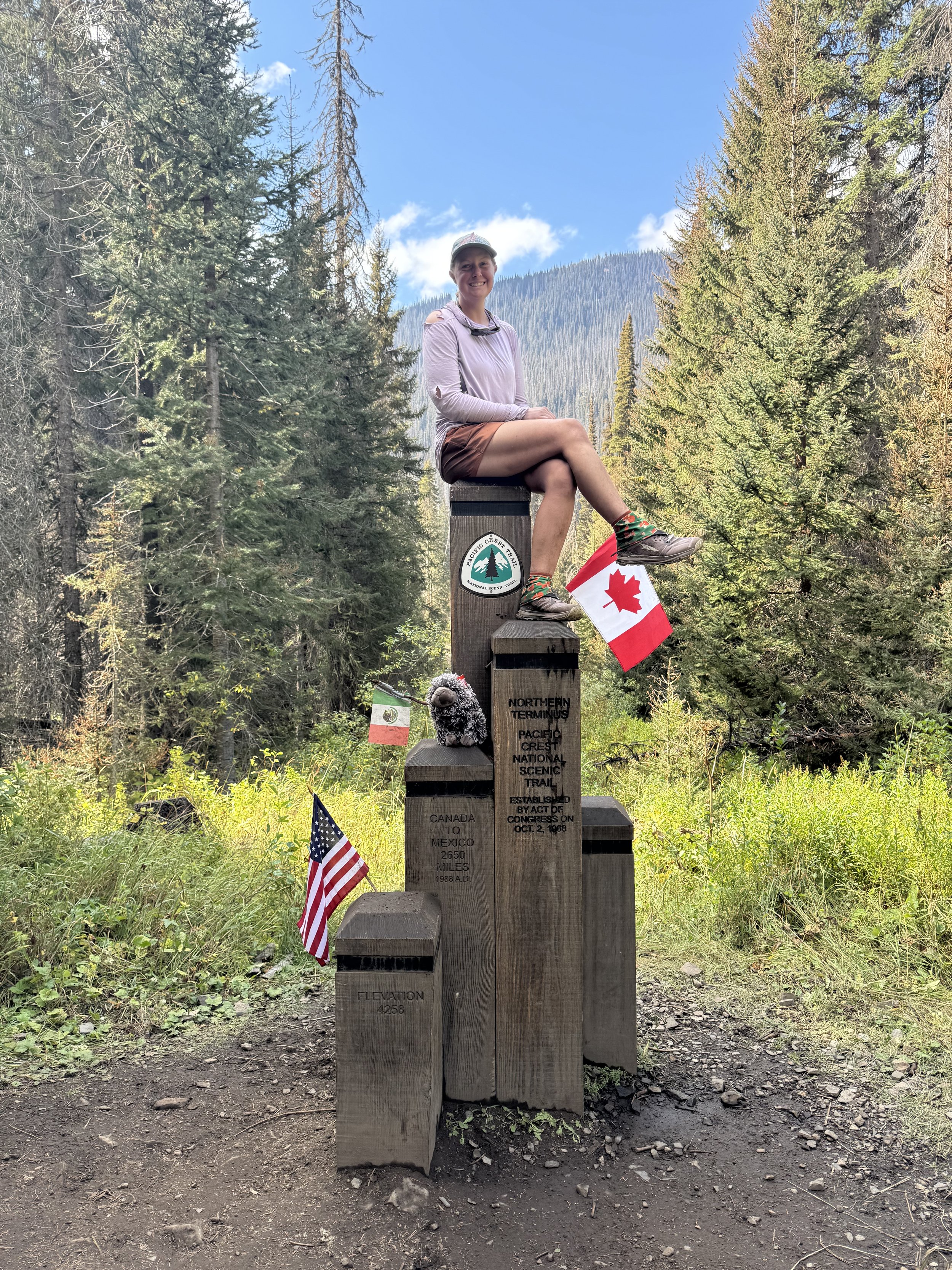
Day 3 & 4: Quick trip to the North Country
I had my alarm set for 0505. I laid in bed for a bit before getting moving at 0520. I was exhausted. Lots of hard hiking, easily harder than a 30 mile day on the PCT. My arms were as sore as my legs from all the pulling up and lowering down. For me, the high peaks are a full body sport. I continued to drag on, packing slowly and cringing while I put on my still soaked clothes and shoes. I started hiking later than I planned, but not terribly so. I was on trail by 0600, hobbling along on the rocks while my legs warmed up again.
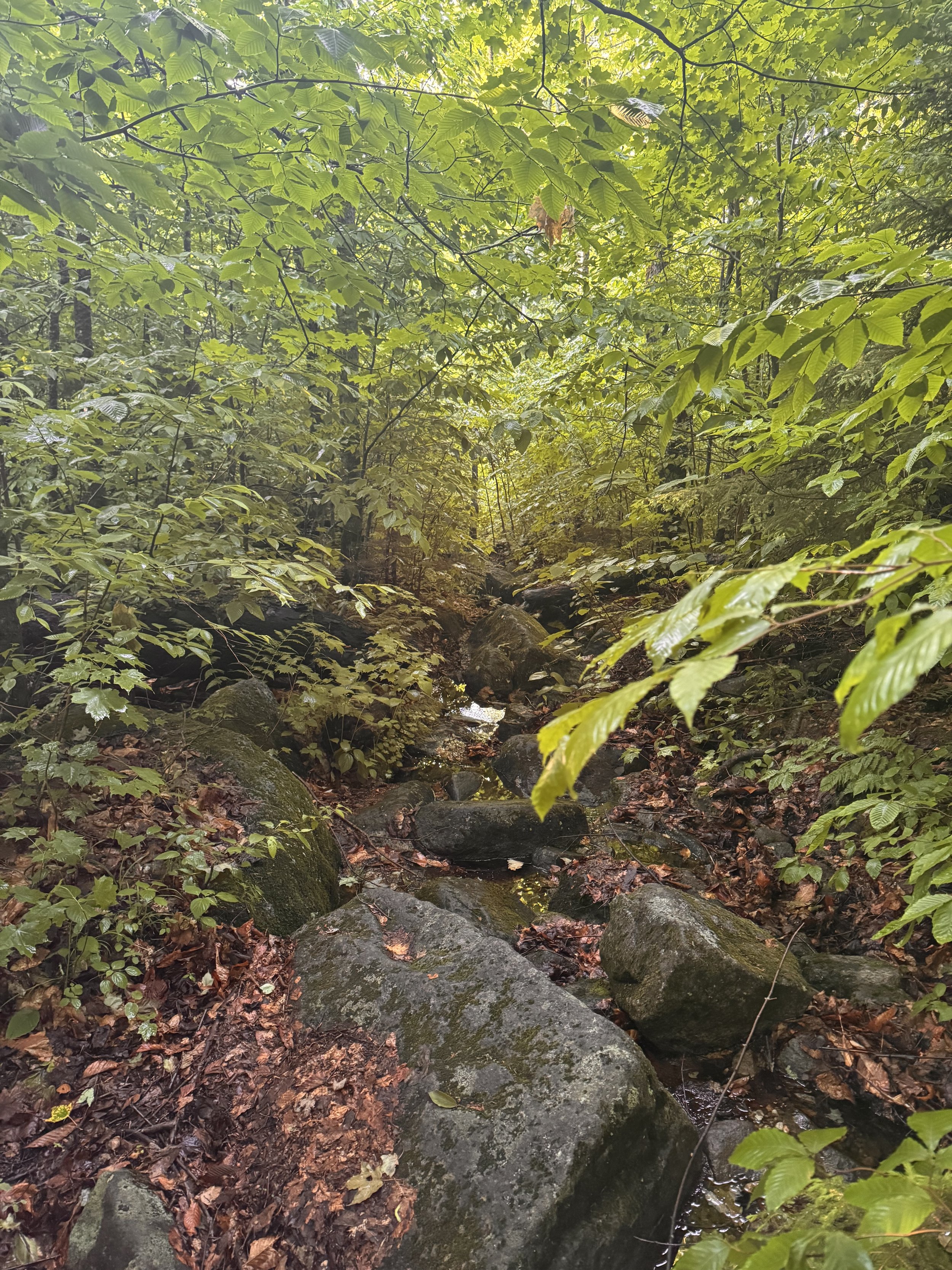
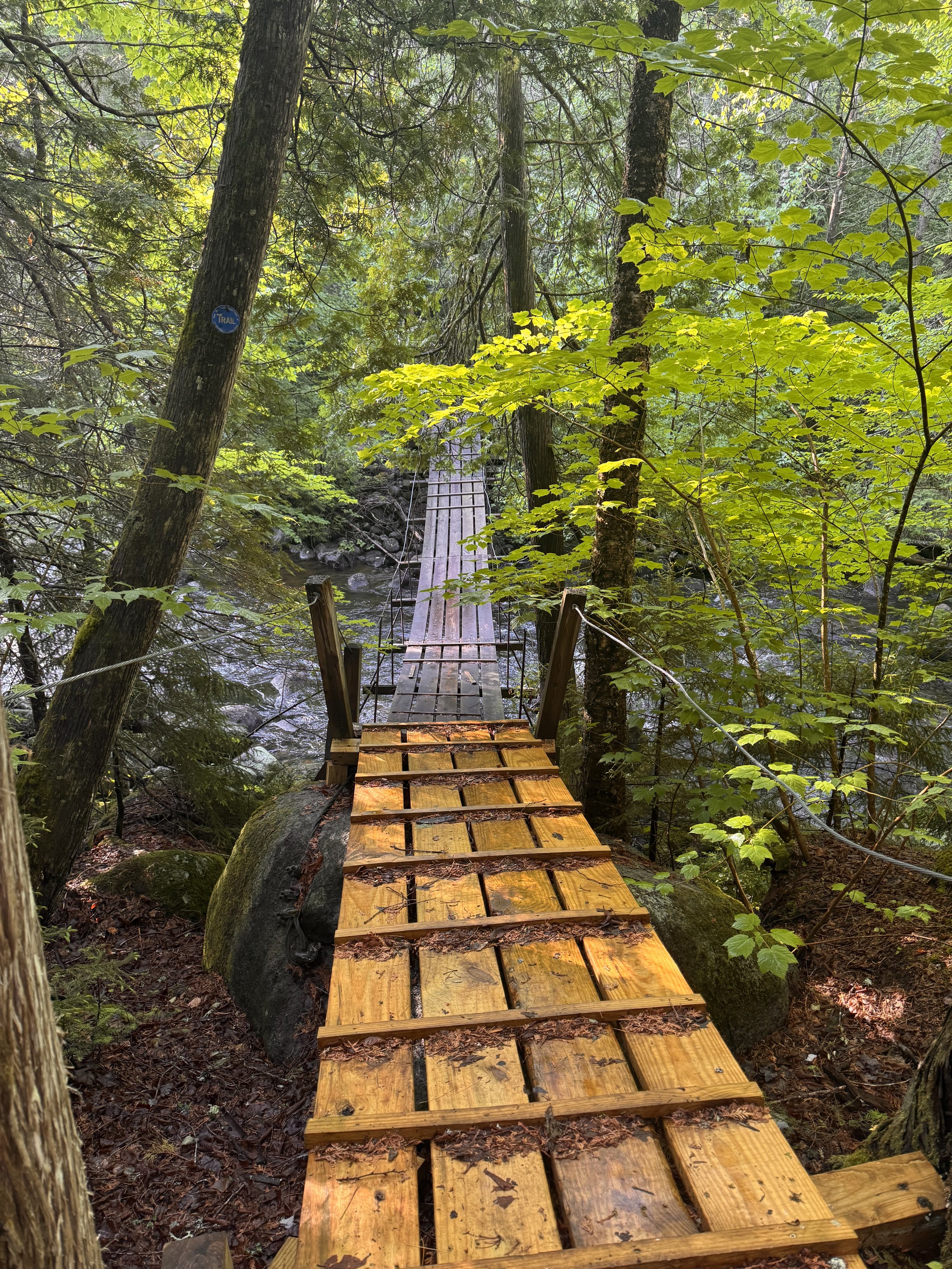
I had six miles to go before I reached the trailhead for Macomb, my next peak. Luckily, after the first little descent, the trail flattened out with fewer rocks. I could finally move fast. I made up some time through the elk lake area, walking on old road beds and well traveled dirt paths. I crossed a few streams which meant my feet stayed wet and one bridge which was super slippery.
I grabbed some water at a stream right before the turn for the Slide Brook trail. My foot was getting a hot spot as well so I slapped some leukotape onto it and carried on. The climb up the slide trail along the brook was beautiful. While still steep, it was an easy dirt path and not climbing up rocks. When the trail crossed the brook near the source about two thirds up, I grabbed more water since this might be my last until the other side of my last peak of the day. A few steps further down the trail and I came upon the slide. Wow. This was going to be frightening and tough. It was straight up loose rock and sand. Not any real noticeable trail. The trail I was on is marked as an unmaintained herd path.
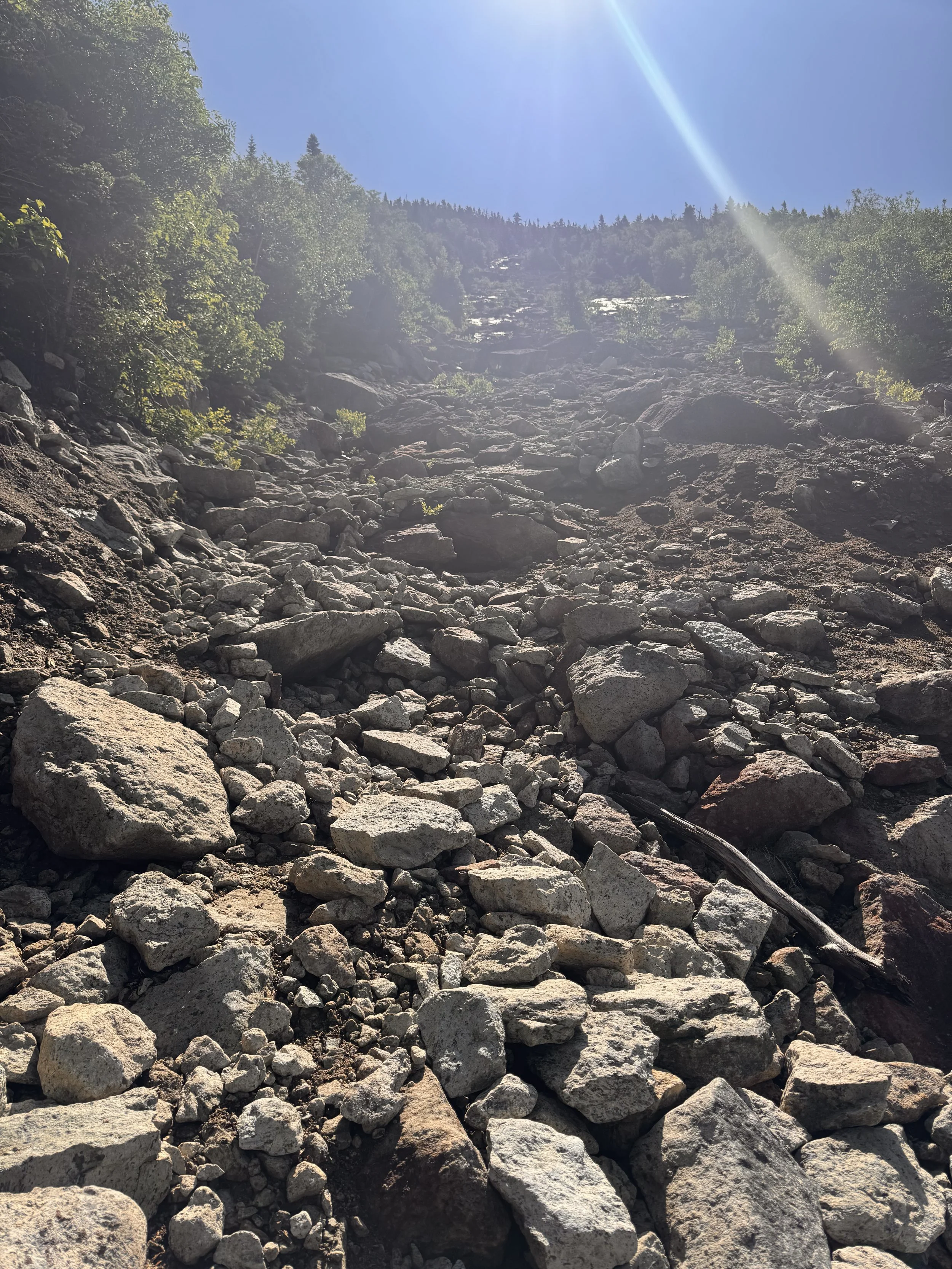
Didn’t get a good photo; it was much steeper than it looks
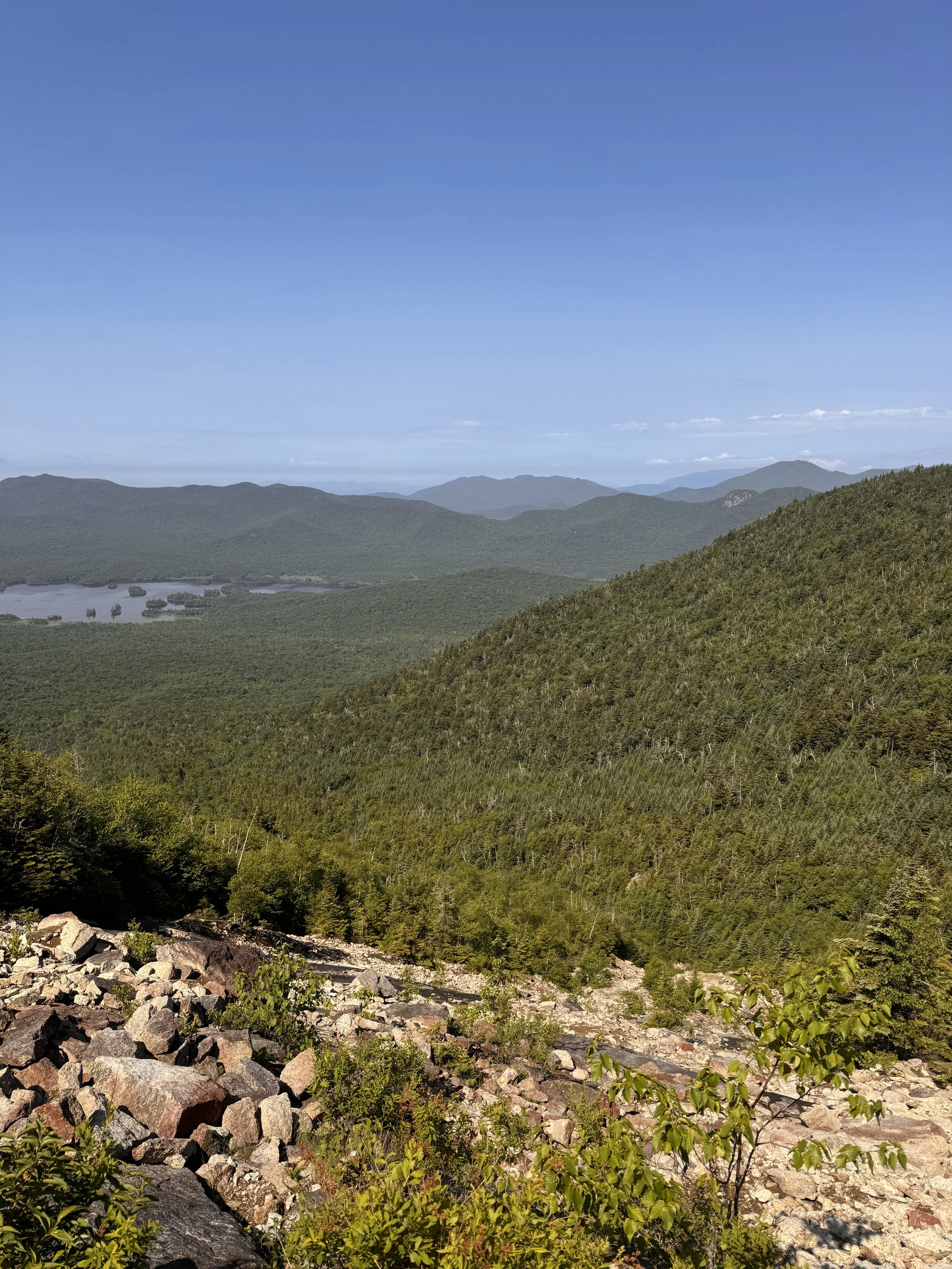
This trail was reminiscent of a pretty sketch part of a 14er I climbed in Colorado. Sketchy for me anyway. I’m sure others wouldn’t think it’s as bad. Every step had the potential to slide out from under me. The rain the night before was actually a help since the wet sand was tackier and most of my steps were pretty stable. Only a few rocks went skittering down the slope after stepping near them. That always makes my heart skip a beat, hearing it tumble down for a long ways and thinking it could be me if I’m not careful. I took it one step at a time slowly to keep my anxiety from taking over and didn’t look down or back unless I was behind one of the few trees or boulders and on a flat shelf.
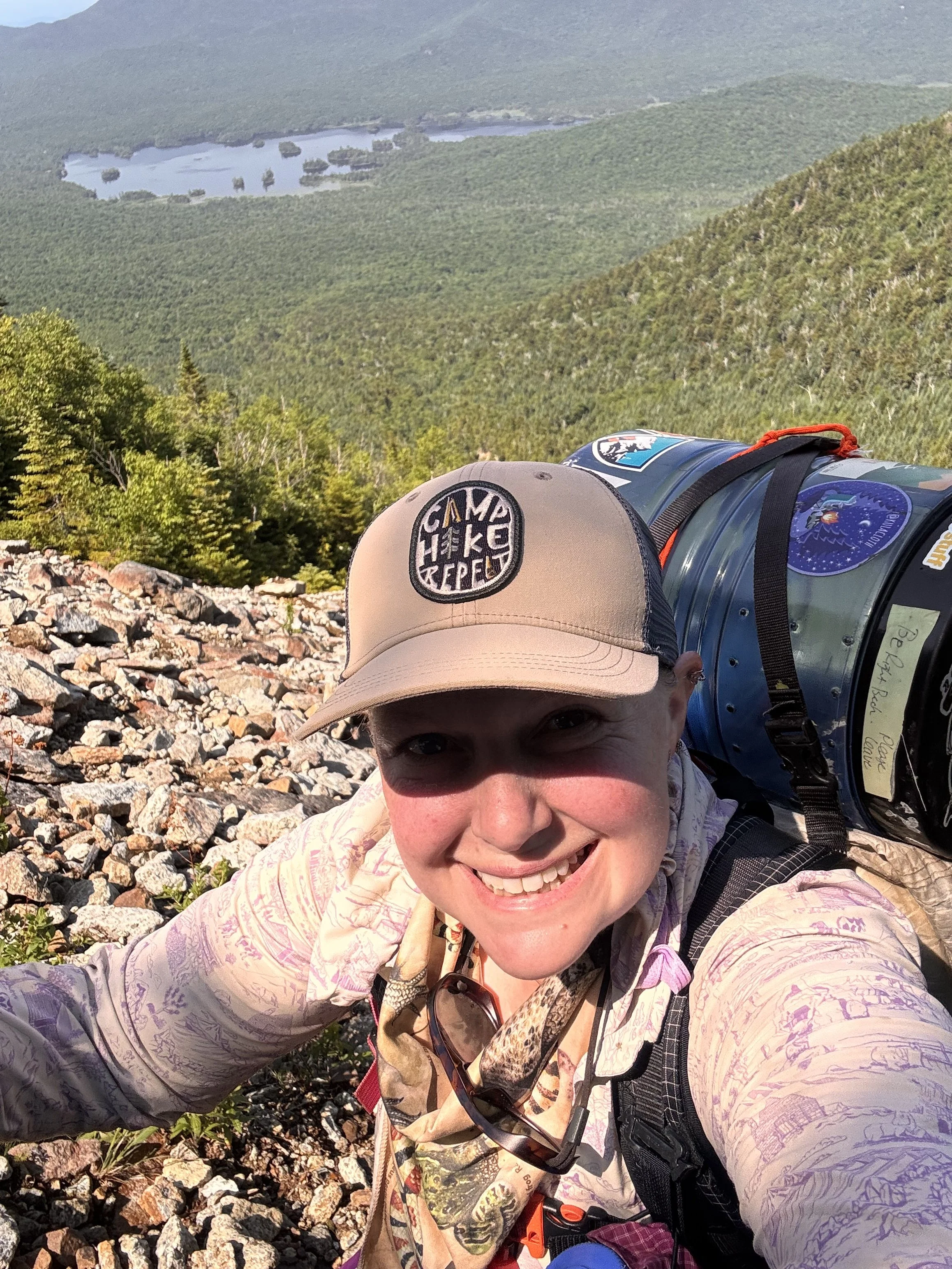
I made it safely back into the trees, but the trail didn’t get easier. Now it was straight up through regular slippery mud. Those trees need a pay raise. I wouldn’t have made it up without them to climb. I hit the summit of peak number ten at 1100.
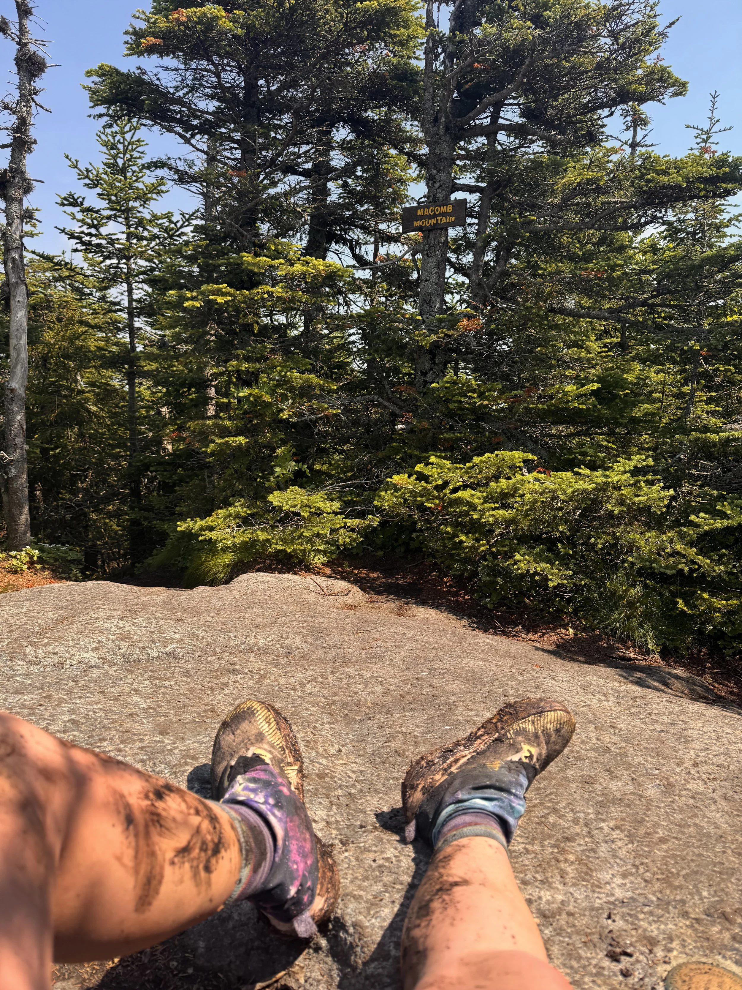
It was almost jarring, but not unwelcome to be on a summit surrounded by trees with a small view spot after the very exposed climb up. I sat in the shade for a long time to calm back down then had my lunch and talked to my spouse on the phone for a little bit.
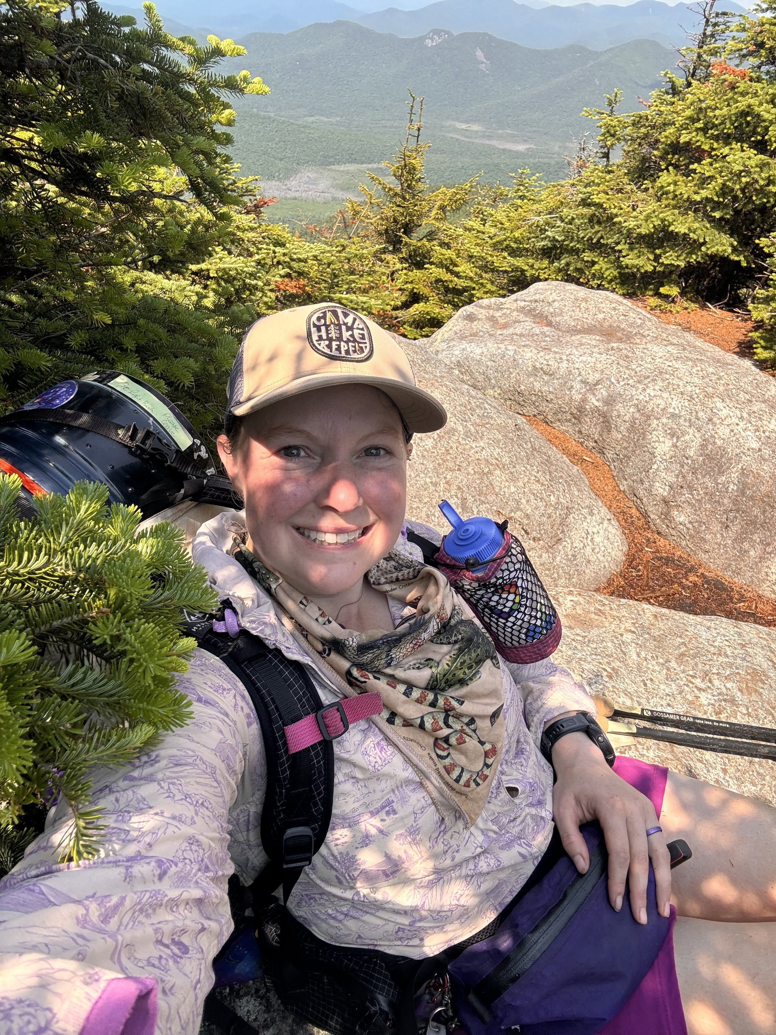
Soon it was time to be on my way again. The next section, still on unmaintained paths, looked easier on the map and it was. There were some spots that required climbing and lots of mud, but nothing I couldn’t handle.
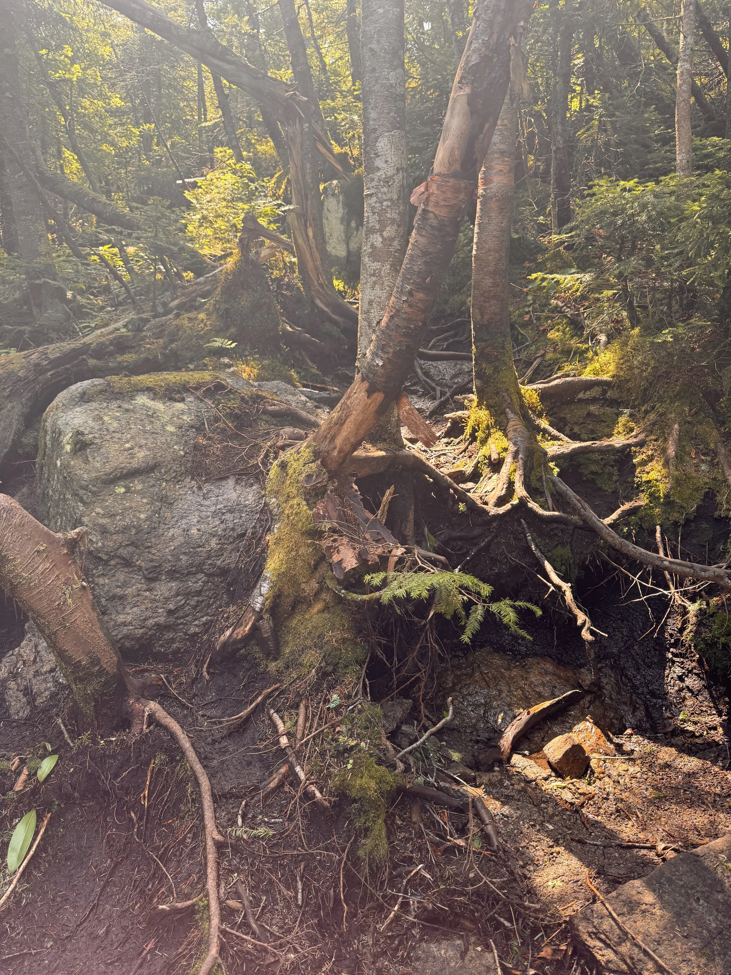
After passing the junction with Lillian Brook, I began the scramble up South Dix. This was a really fun and easy scramble, especially after everything I’d already done. Years ago, I probably would have cried climbing this, now it’s enjoyable.
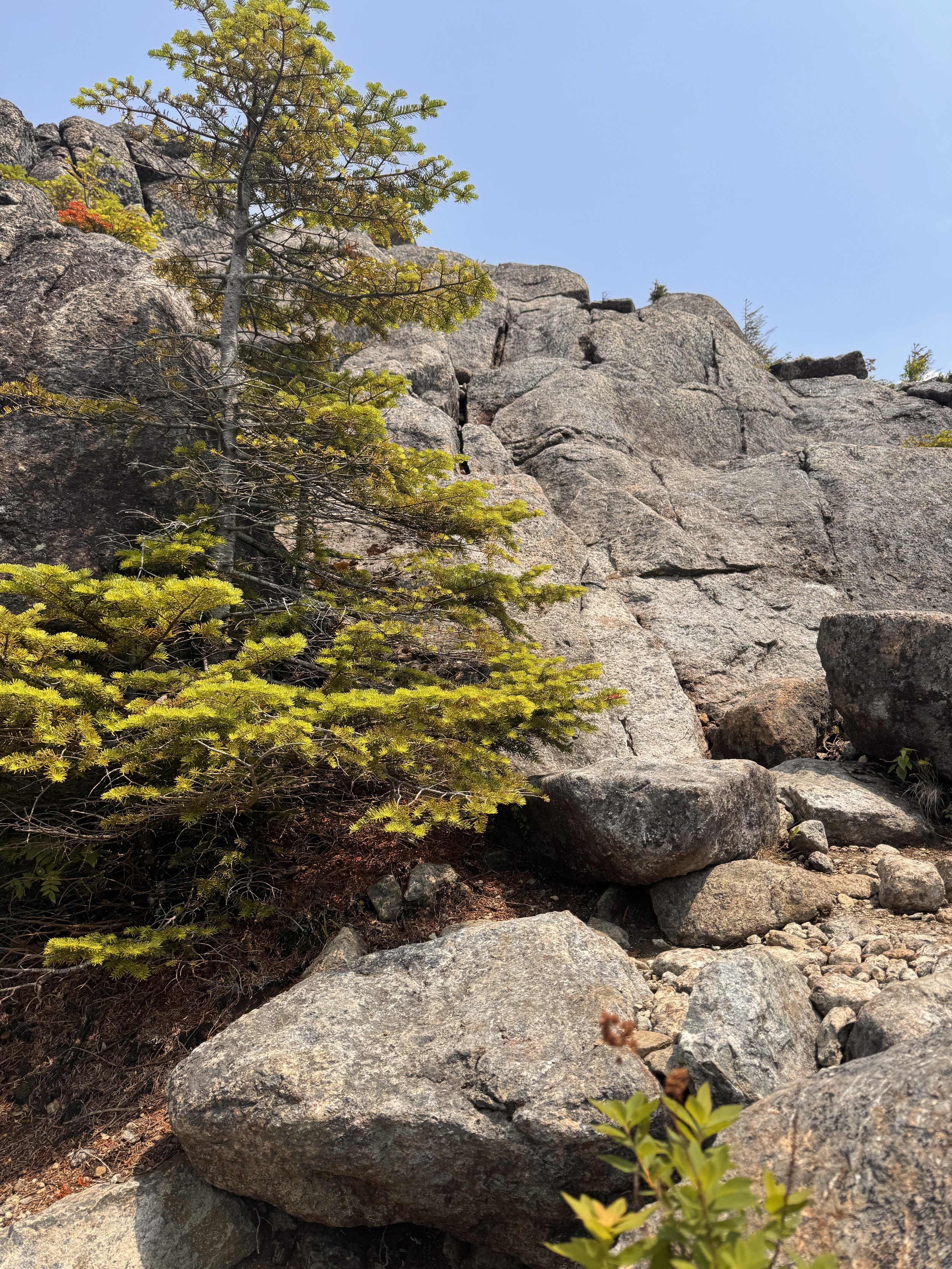
Trail goes straight up
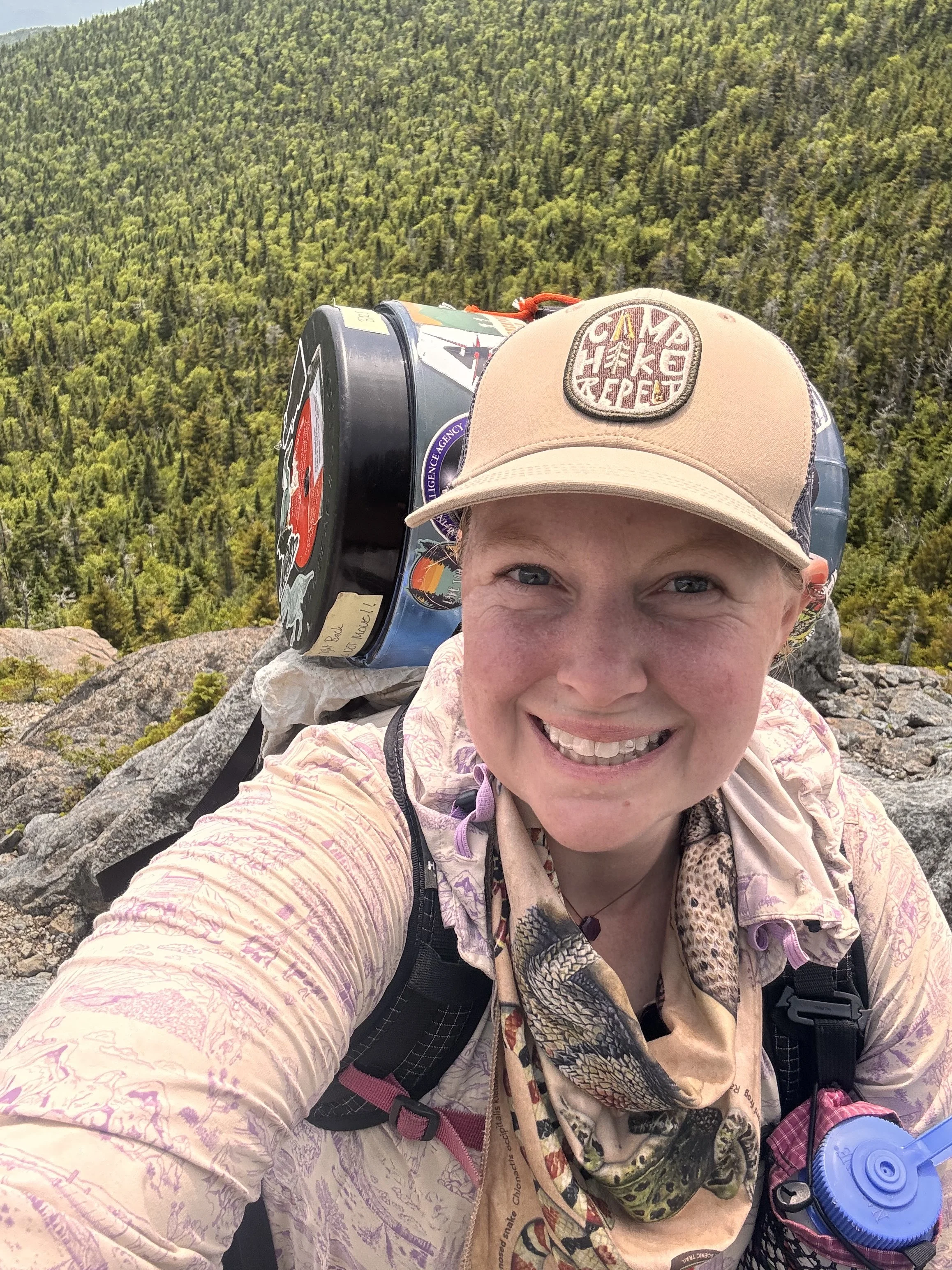
I was on the summit of South Dix around 1245. Despite the climb with great views, the top was all trees so I kept on to the next peak. I dropped my bear can off since this would be an out and back. The path overall was pretty easy with a couple climbs/drops that required a little more effort. I hit the summit of Grace (formerly East Dix) at 1345 and sat at the top for a few minutes to enjoy the view. Twelve peaks complete. The way back felt quick and I saw my first people of the day other than the group at the trailhead parking at Elk Lake. I chatted with the two women for a few minutes before finishing the climb back up South Dix to grab my bear can. Once I had it, I turned down the trail towards Hough, which I learned from my chat is pronounced huff.
The weather was looking like it may turn for the worse, so I went through a bunch of scenarios on what I could do while compulsively checking the radar. I could carry on and try to get up and over Hough, Beck-horn, and Dix before it gets worse. I could turn back after the summit of Hough and try to hitch a ride with the ladies back to my car. I could head down and redo the climb the next day. I could attempt to summit and get stuck in the saddle while storms pass. I decided to keep going. The sun was shining and nothing was currently on the radar.
The climb was steep, but forested with a few big rock climbs.
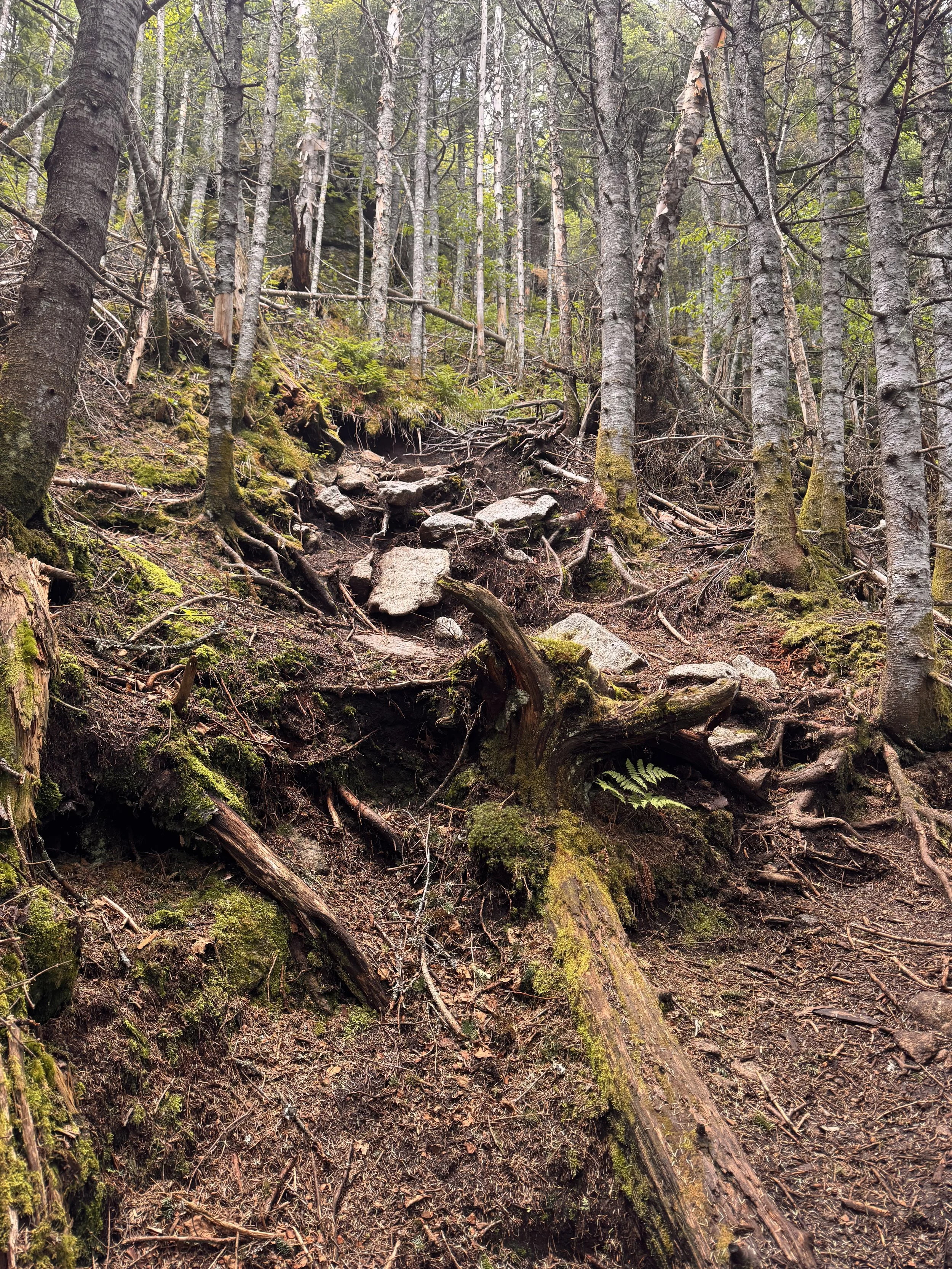
I hit the summit at 1600 and pushed on. I needed to move as fast as I could. The next climb was less steep, but with more difficult scrambles thrown in. There was one really difficult rock wall. I stood for a while trying to figure out what to do before just climbing up the trees and pulling myself onto the rock shelf. Up and over Beck-horn onto Dix. Beck-horn itself isn’t a high peak. I think it’s because it’s too close to Dix, but had some great views. Too bad I was in a rush to not die and get the last quarter mile to get up and over Dix before more possible storms. Just as I reached the flat saddle between Beck-horn and Dix, a small rain band came through. I decided to attempt to play it slightly safer and cowered on the trail below and behind some rocks and trees hoping it was nothing but rain. The radar showed just rain and it was. I waited for it to pass before pushing up the last scramble to Dix.
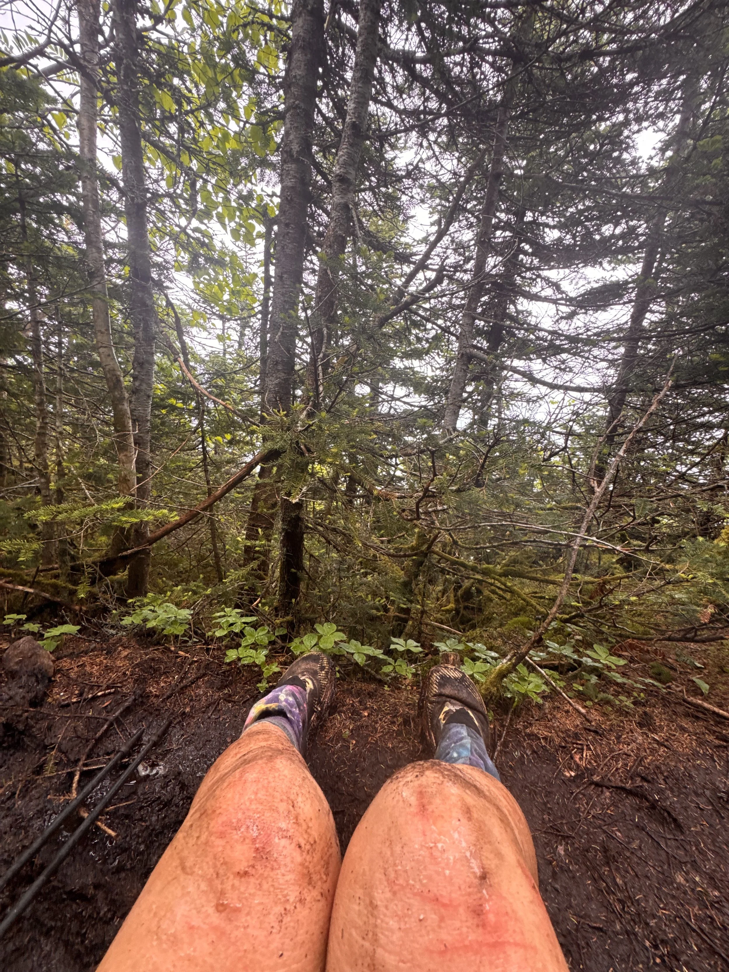
I hit the top of Dix a few minutes later at 1730. This was my 14th and final high peak of the trip. I didn’t think I’d have it in me to do more the next day. I didn’t linger at the top and only grabbed a couple photos before trying to get lower and not be on the 6th highest point in the state during a possible thunderstorm.
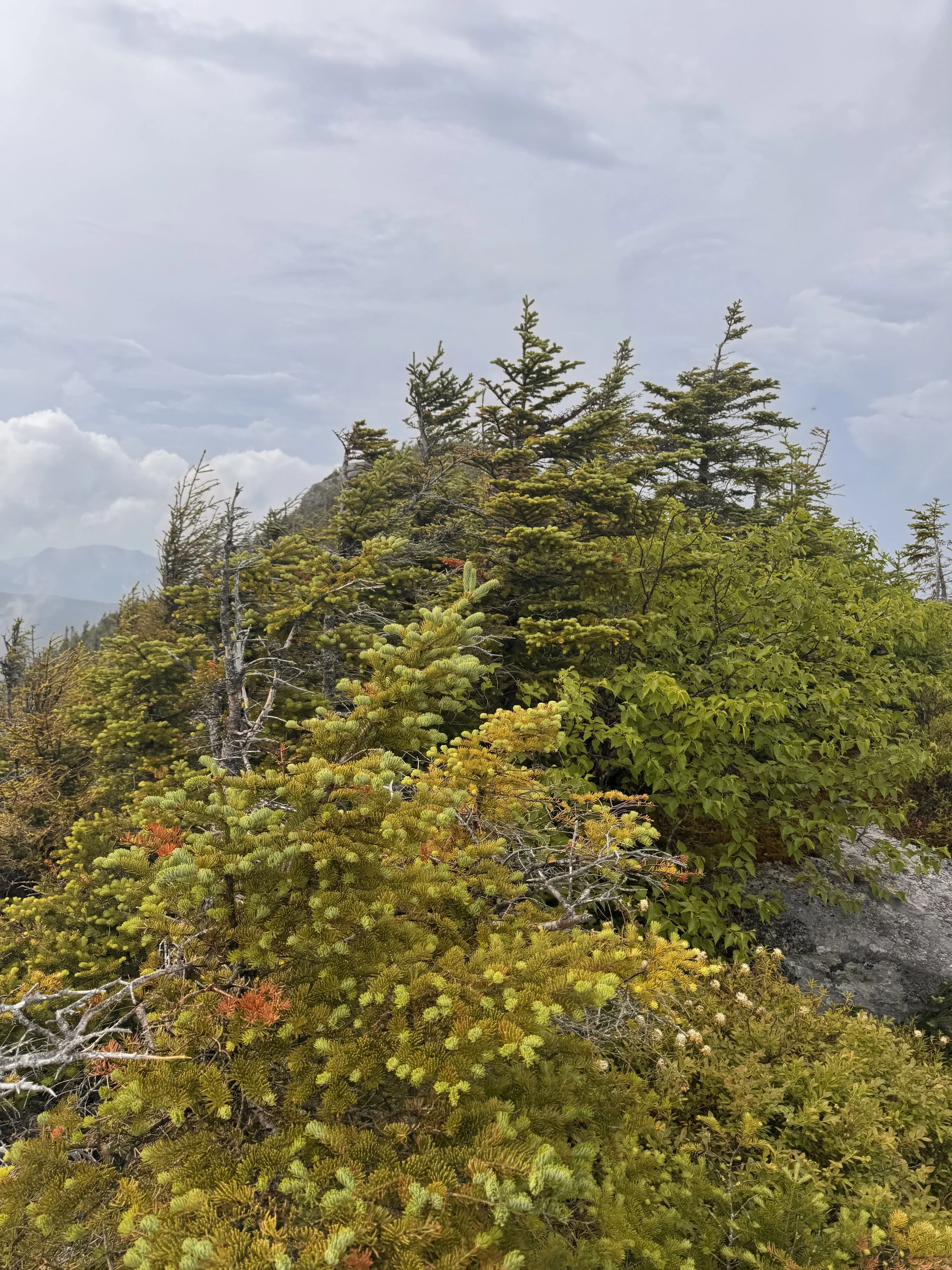
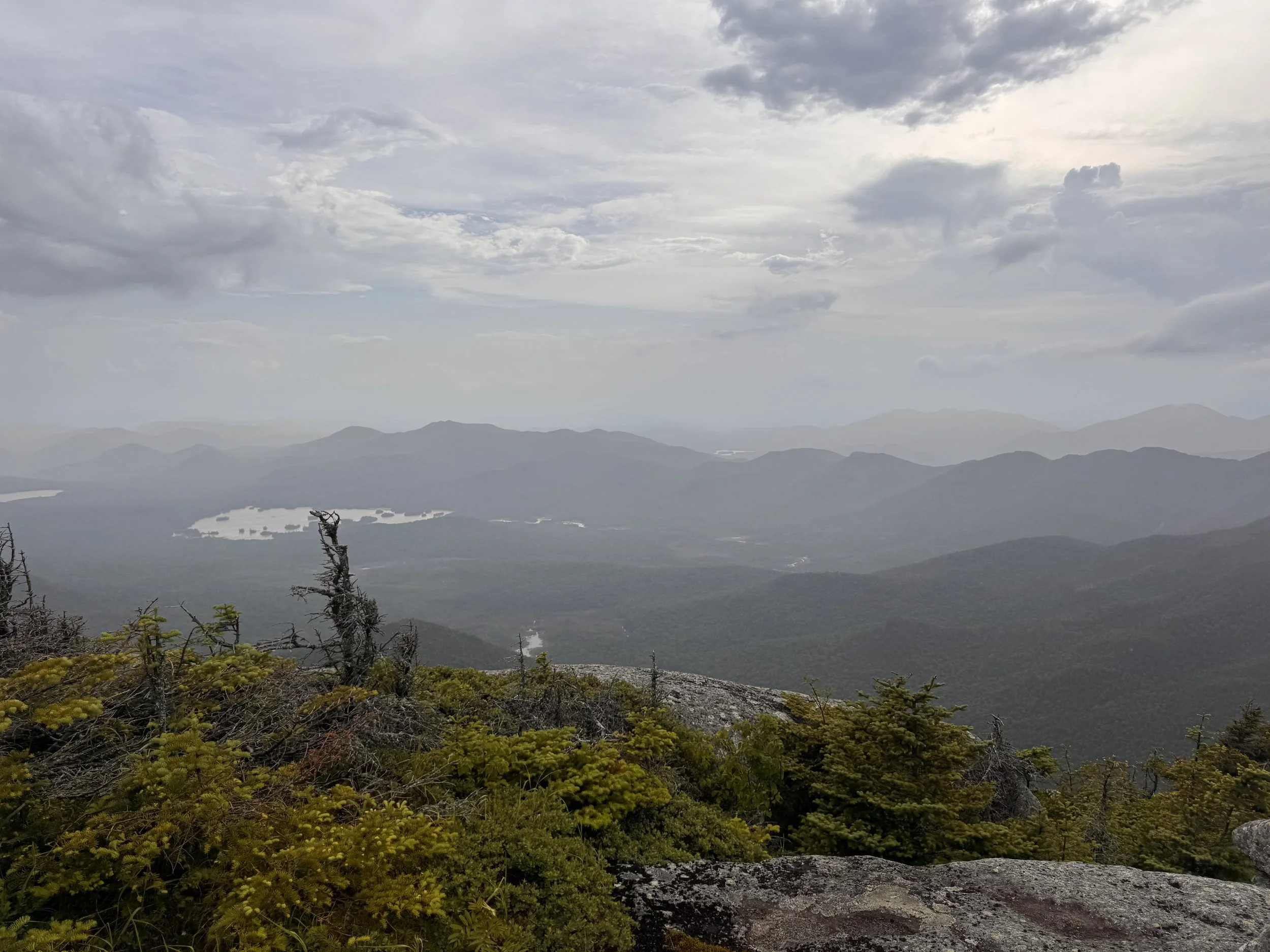
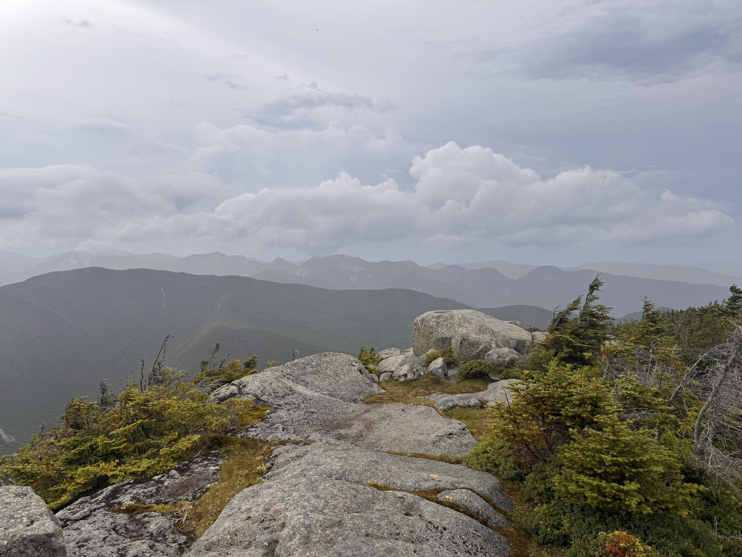
The descent was not fast or easy. It was steep rock slides that I alternated between shuffling down and butt sliding.
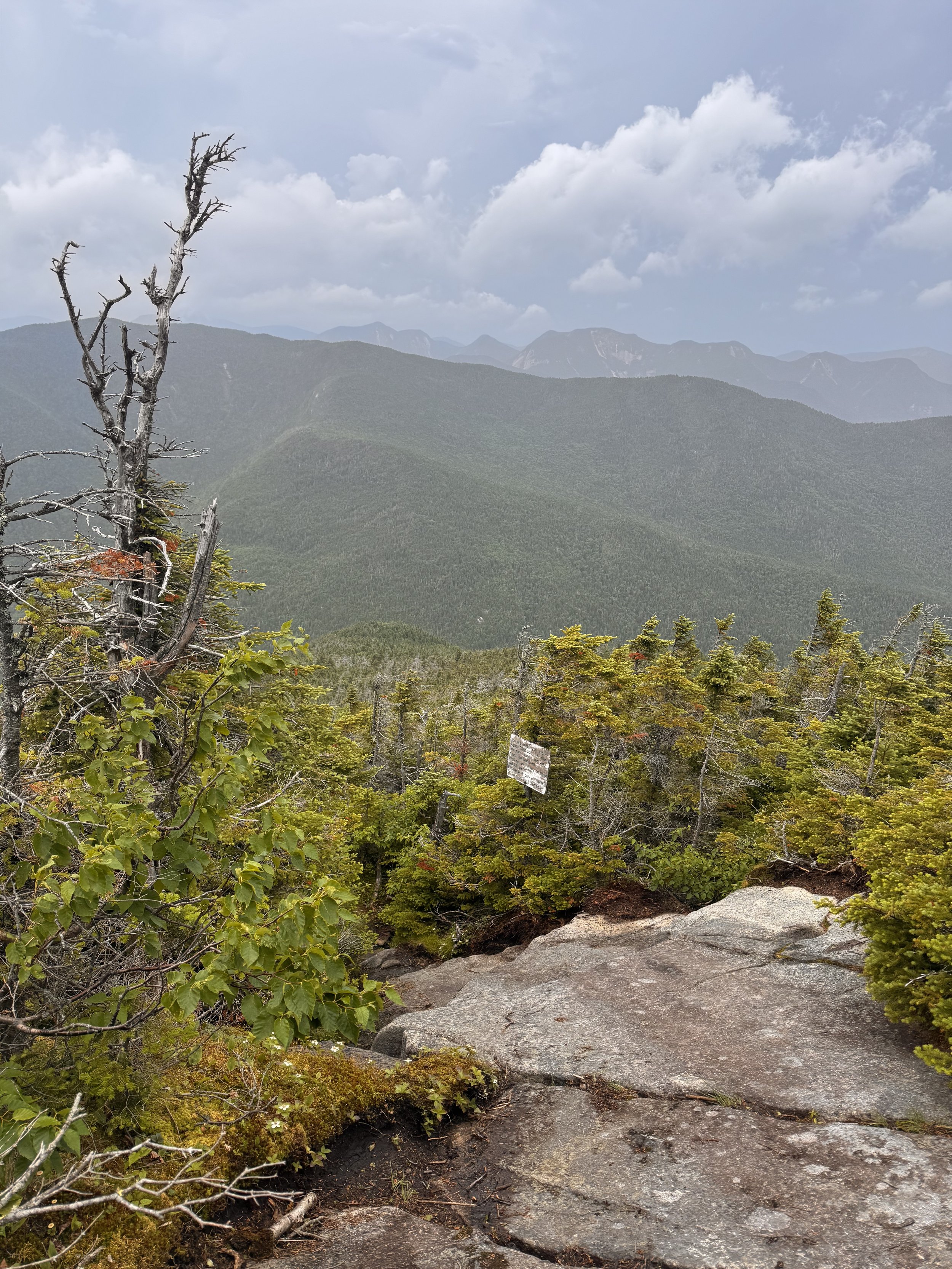
My feet were wrecked. They’d been soaked all day and the afternoon before. My left heel hurt pretty badly from blisters, not a problem I’ve experienced much before. It was slow going for me even once I got down into more forested terrain. Part of the trail felt similar to the Macomb slide but enclosed with more trees around. Each step was a struggle. I was thirsty as well.
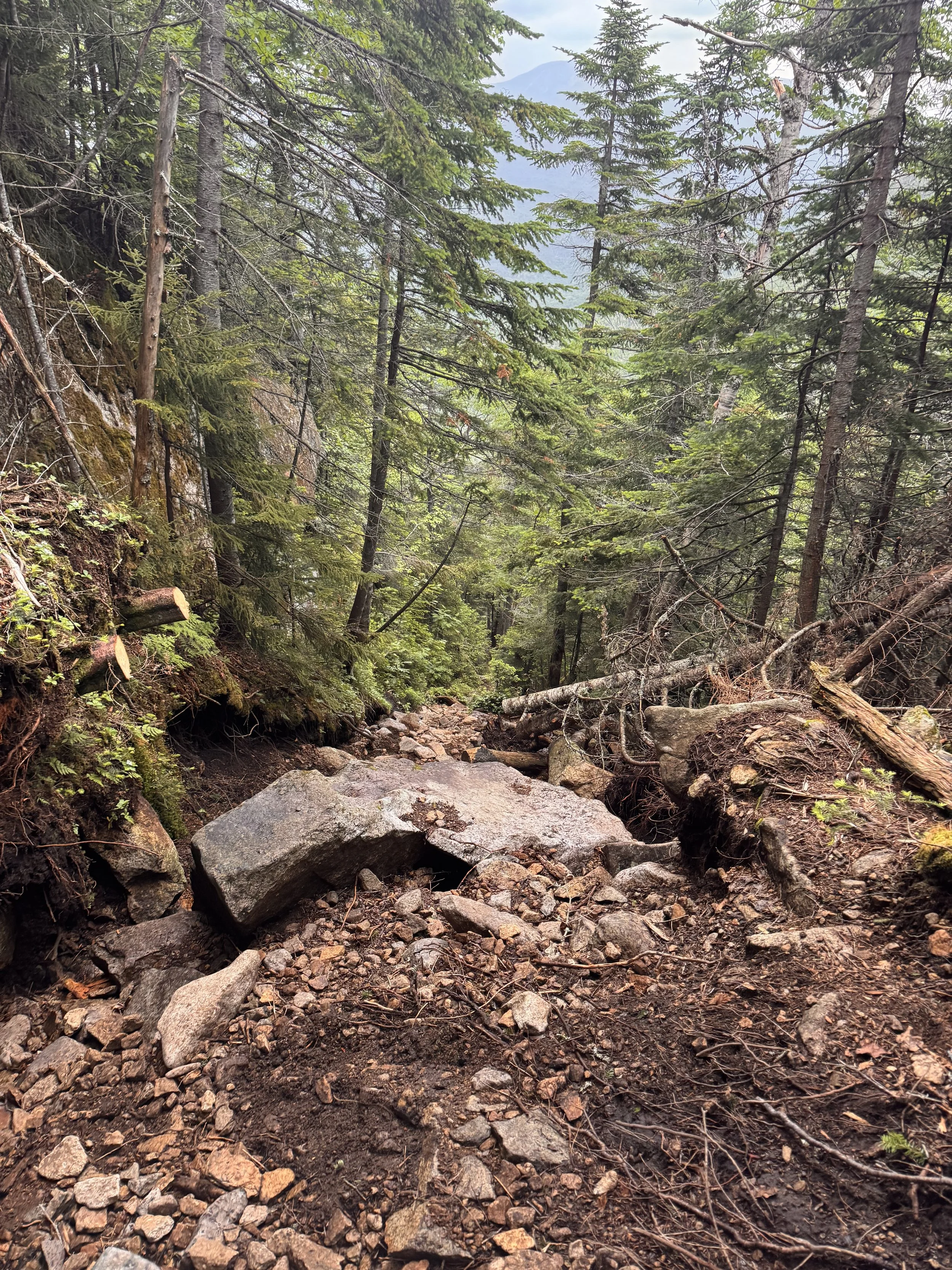
Lots of loose rocks
But at 1920, I finally hit the stream which cascaded beautifully down a gentle slide of granite. I drank a bunch and filtered more for the last mile to camp which would probably take me another hour to get to.
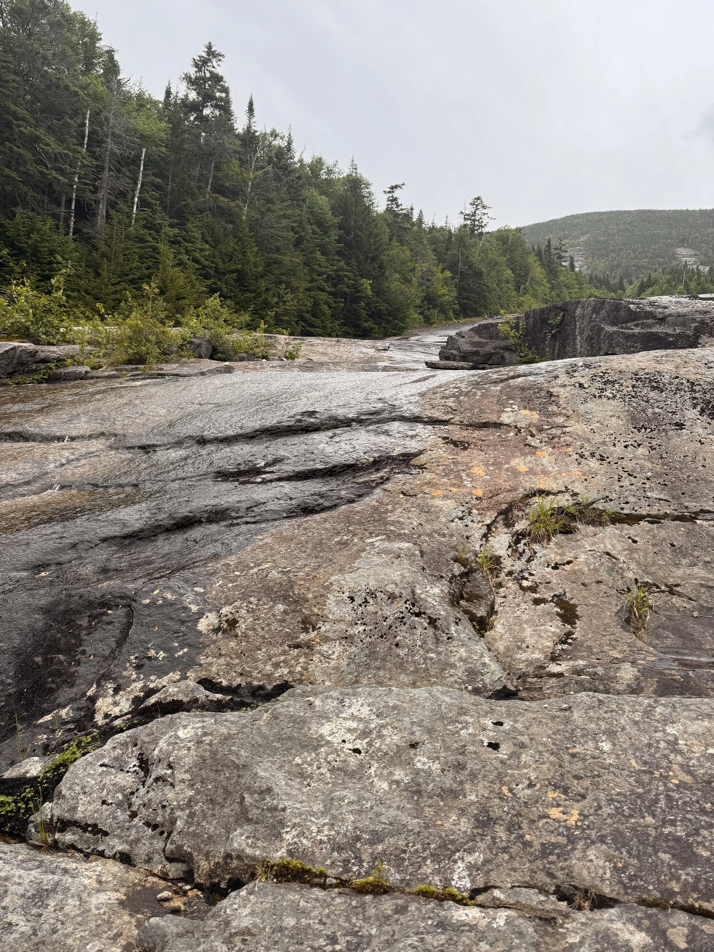
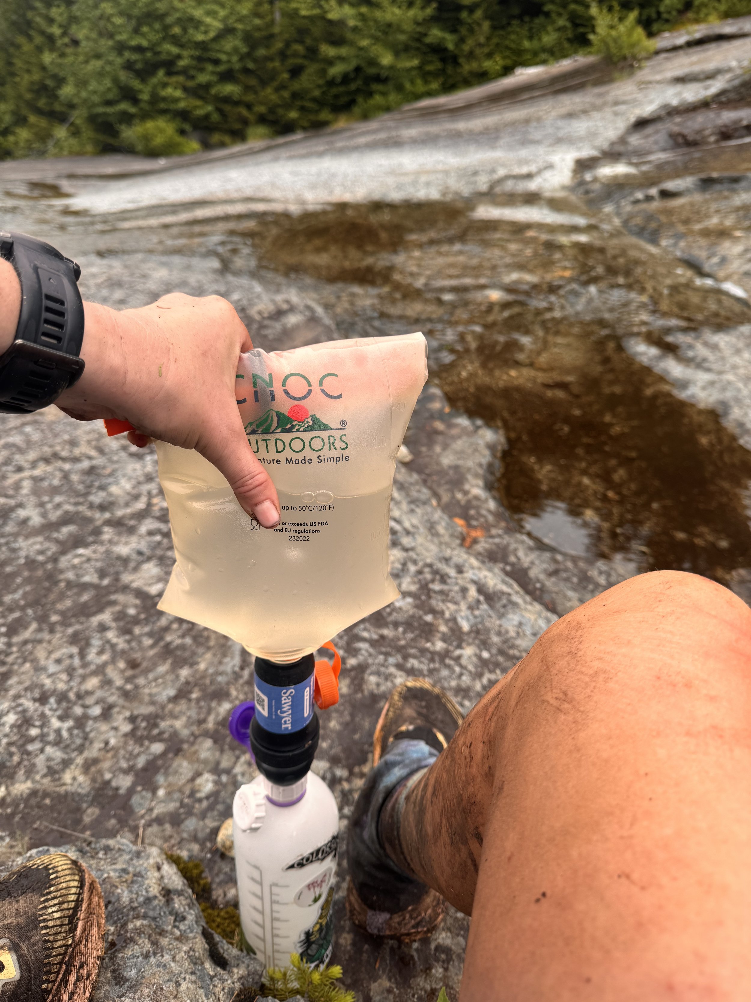
The trail continued in the stream bed at the bottom of the slide, alternating between rock hopping, walking in mud, or just walking in the water. It did eventually ease up and I reached a camp area at 2020. My first move was to set up my tent before it got dark.
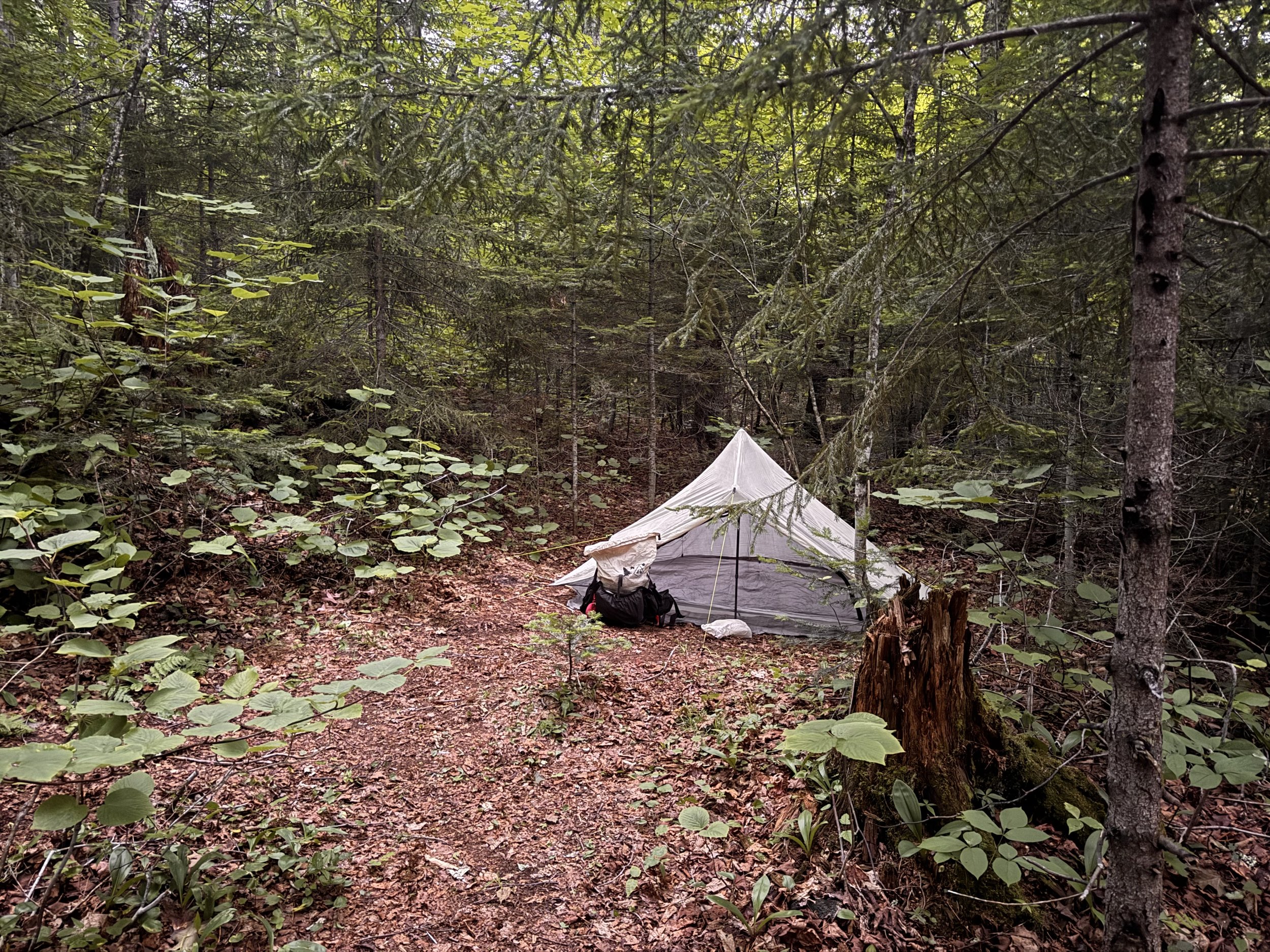
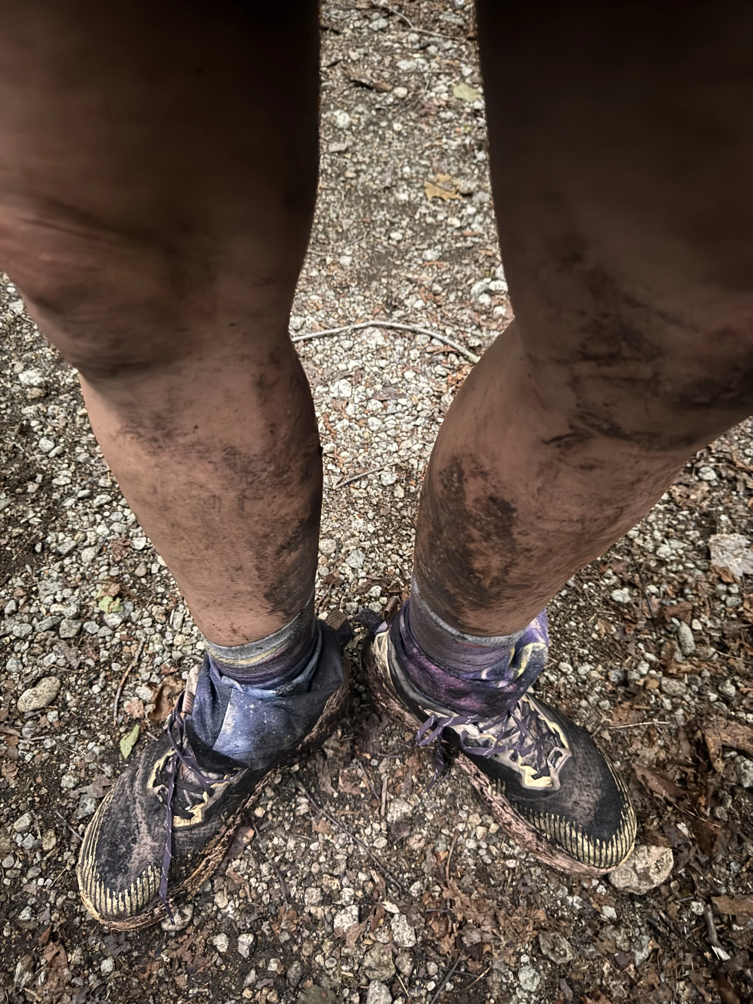
Then it was wash my legs in the stream.
Dinner followed. I ate the other backpacker breakfast I had brought for the next day followed by a fancy ramen and all my chips. I sat on a log barefoot during this time to let my feet finally dry. The maceration was pretty gnarly and very painful.
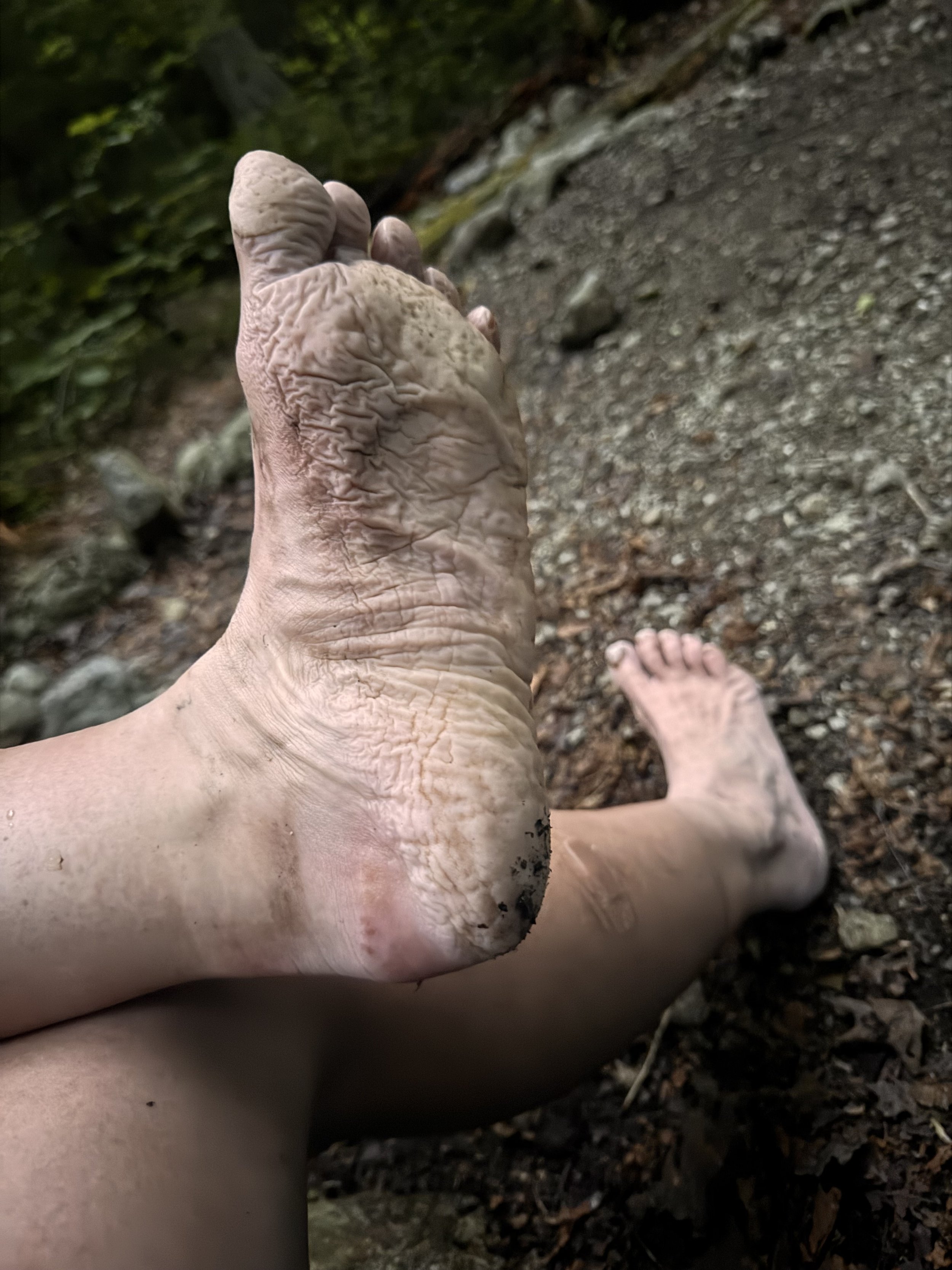
I shuffled my bear can away from camp and headed into my tent to get ready for sleep. Taking my clothes off, I could really see how wrecked I was. I haven’t been this beat up in a while. I had chafe on the front of my armpits and lower back from my pack. My feet were raw, macerated, swollen, and the heel of my left foot was rubbed off in a long band and a large patch. I had tons of bug bites, a few bruises, and many scrapes from the stabby shrubs along the trails as well as from using my knees to climb. I had a rash from being hot and soggy wherever my clothes were. The temps were in the 90s and very humid. It was worth it.
A big storm rolled in around 2200. Lots of wind, lightning, and rain. I read for a little bit before giving in to sleep.
I didn’t have an alarm set. I only needed to make just under 5 miles to get back to my car. It didn’t stop me from waking up at 0530 though. I tried to sleep more, gave up, and started packing. A night of being dry helped my feet tremendously. They were still painful, but I could move much faster again. The trail was easy all the way out and I had a milkshake to look forward to.
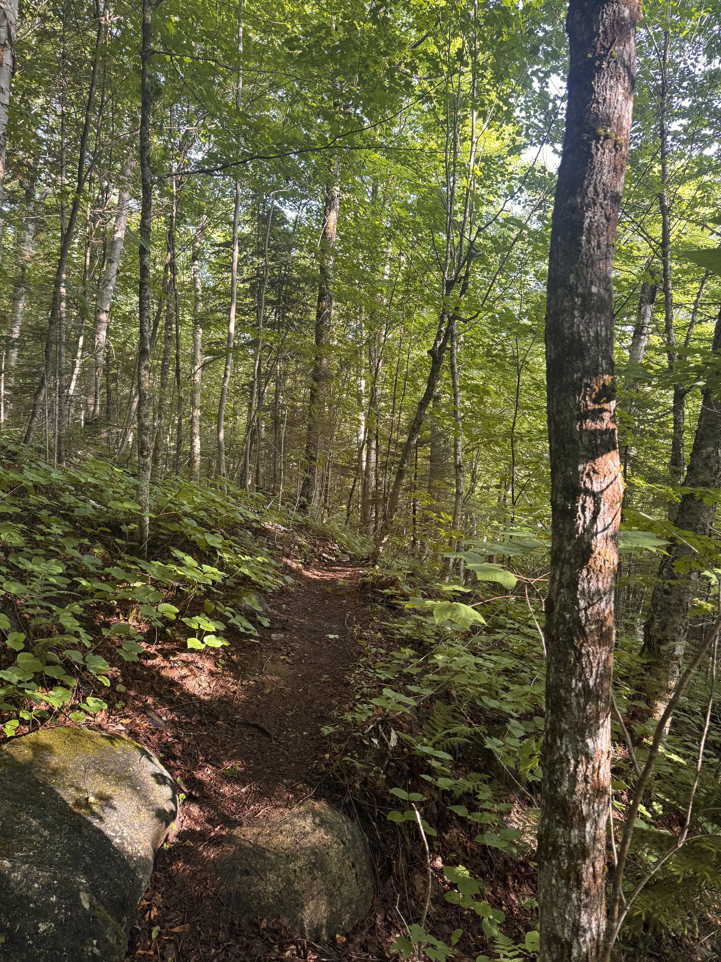
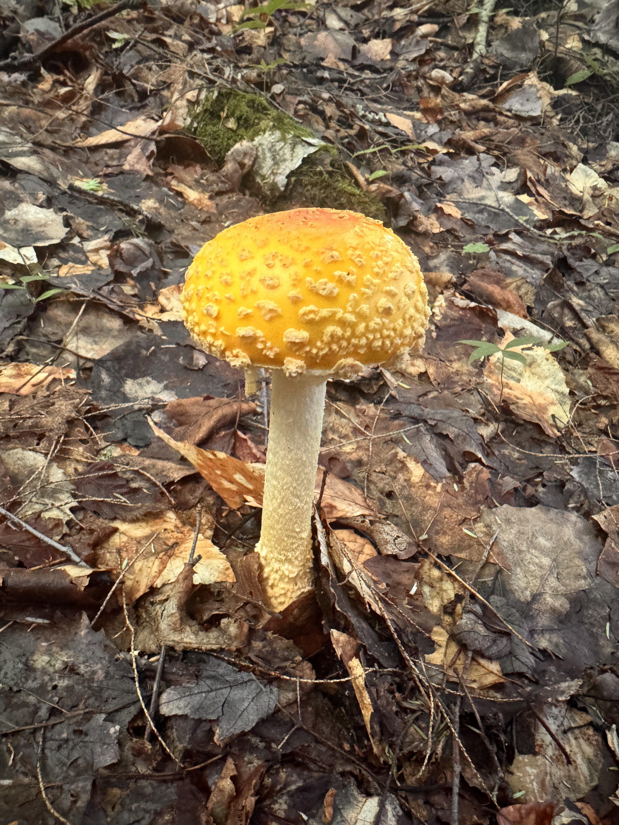
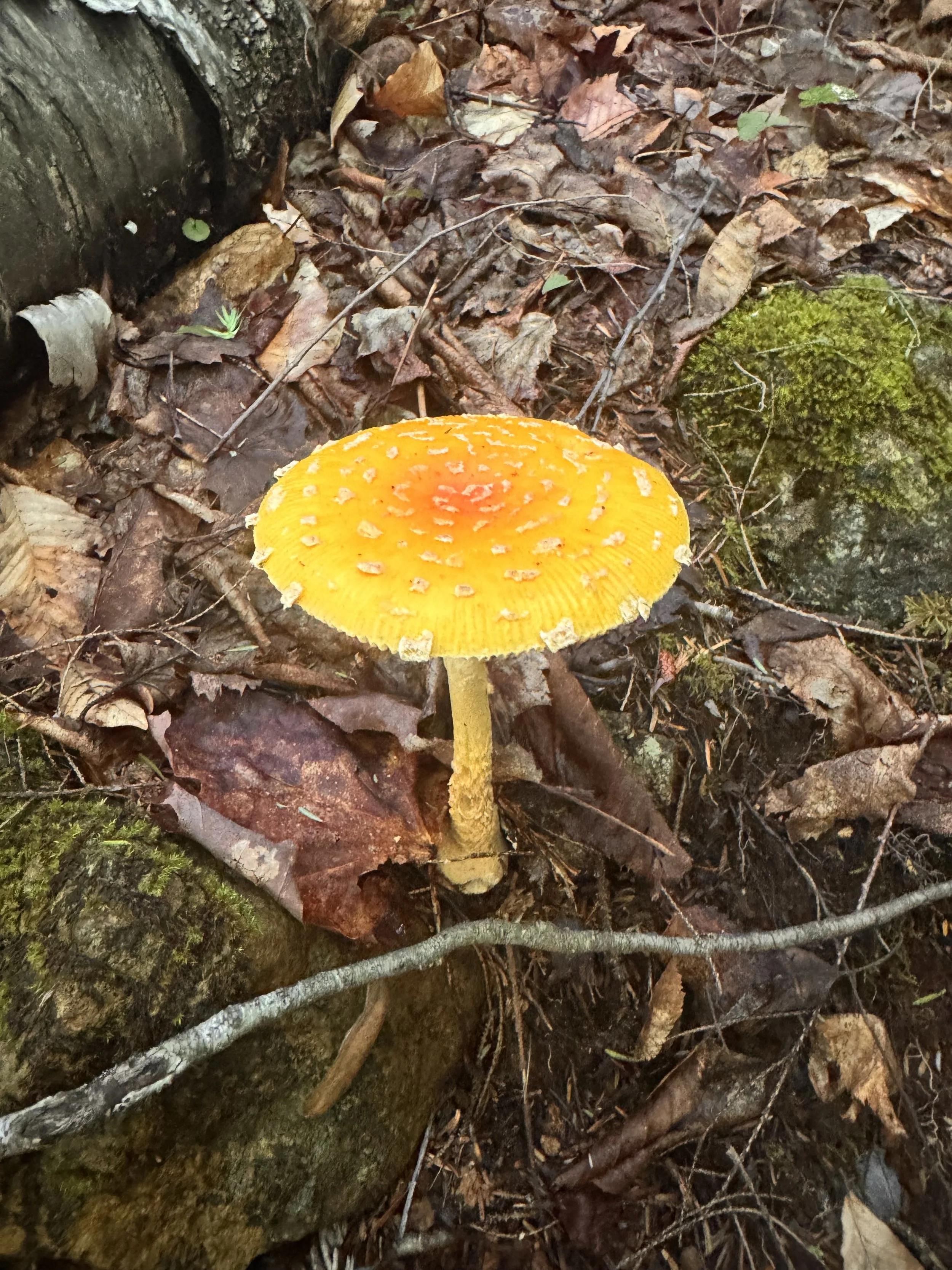
I was feeling pretty good and considered climbing Noonmark, until I got to the junction. 1200’ in a mile didn’t sound so fun after all. I knew I’d be hurting if I tried to do more. Best not push it too much. I enjoyed my walk through an easy forest and took photos of the mushrooms along the way. I believe they’re fly agaric, but I’m no mycologist.
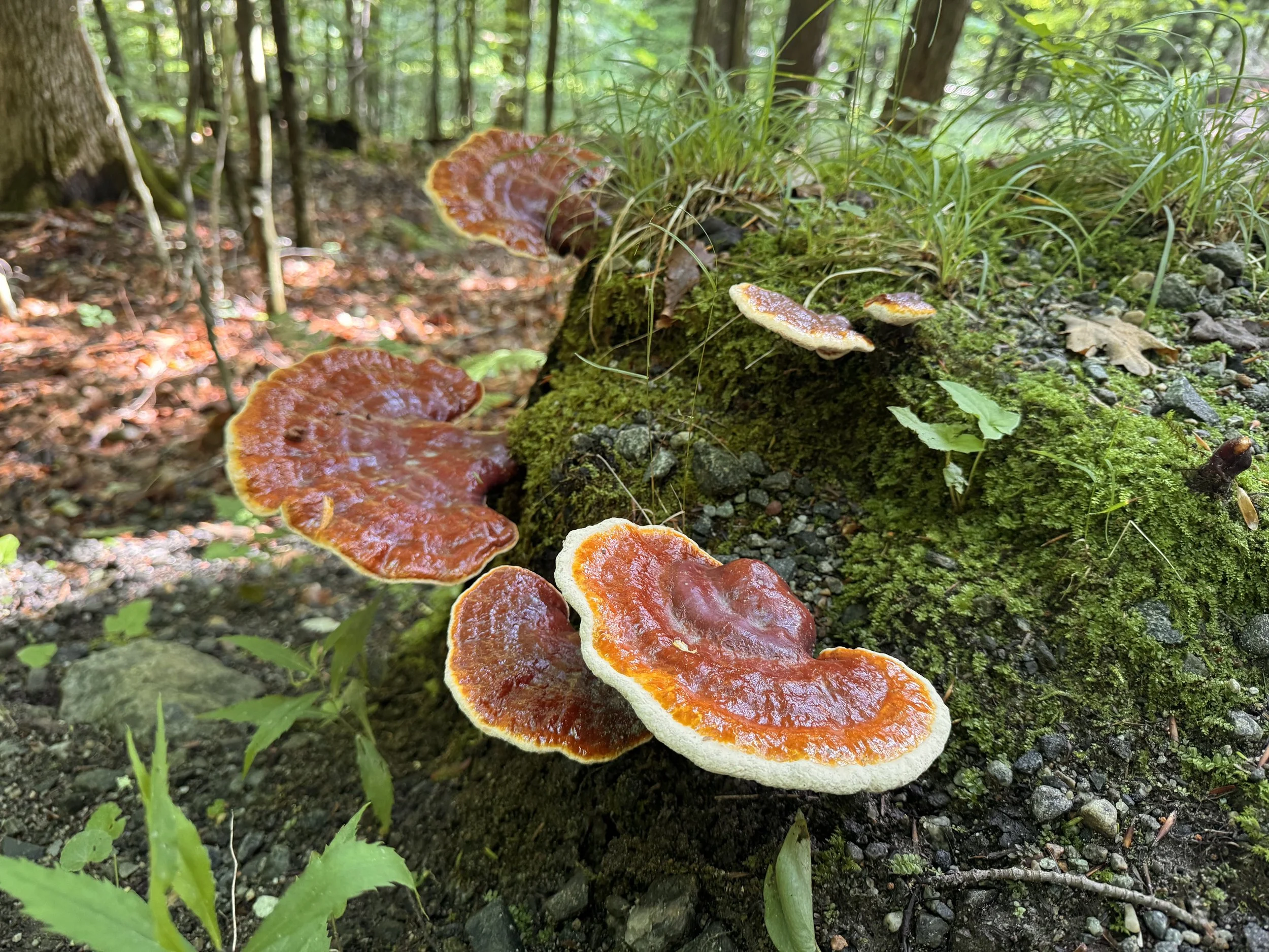
Don’t know what this one is
All that was left was a short road walk to my car. It went quickly and I signed out at the register, different one than I signed in at so hopefully that won’t be an issue. I got back a little after 0900.
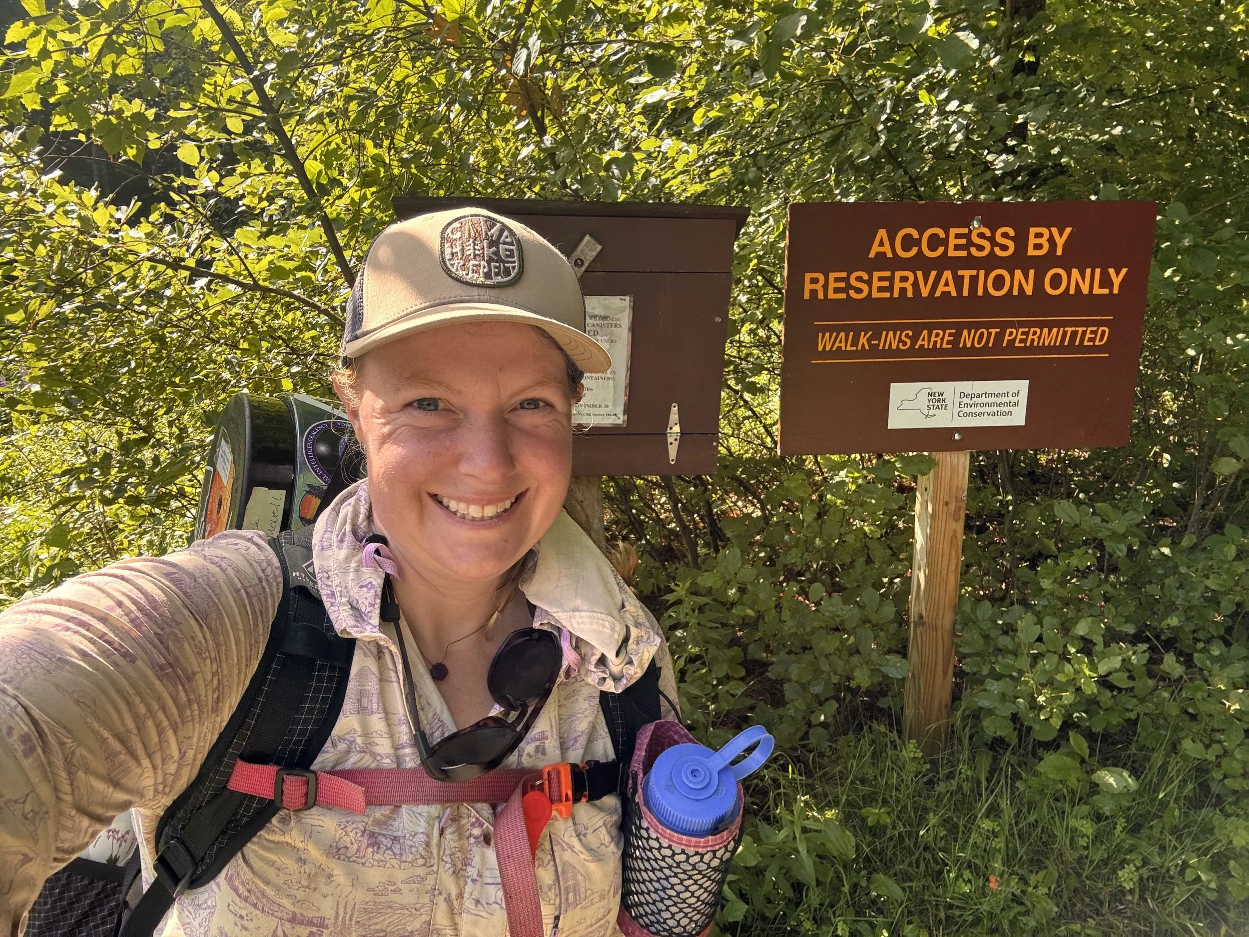
Next stop milkshake!
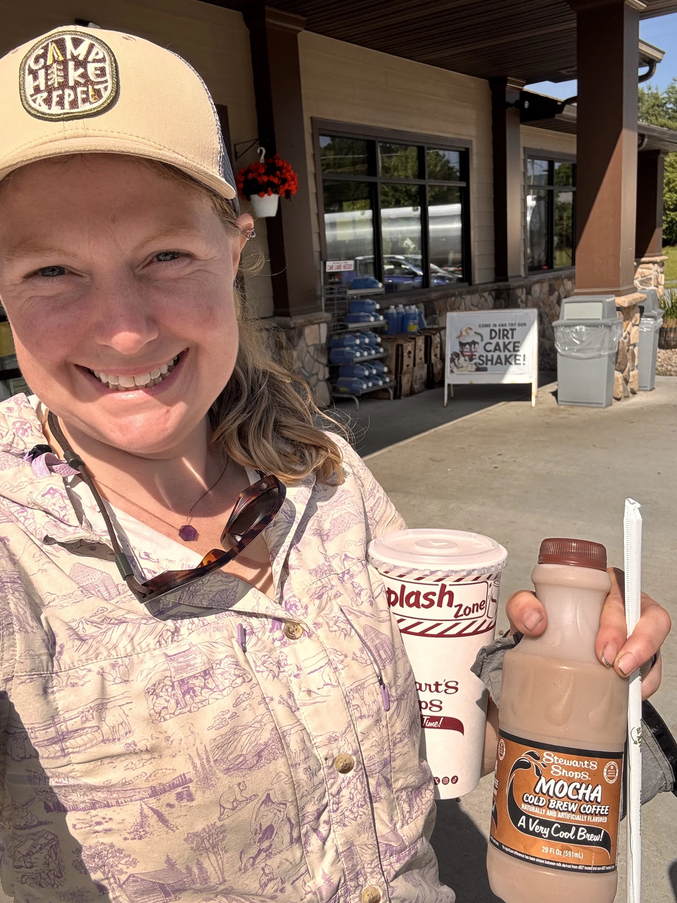
Overall, a successful trip. 3 very full days of hiking and a short trip out on day 4. I was able to get to the summit of 14 peaks. While I didn’t stick to my plan, I was okay with leaving it open. I just hoped for 13-17 peaks and 2-3 nights in the backcountry. I didn’t have any panic or anxiety attacks and made more progress in my confidence with scrambling and exposure. I don’t know that I’ll ever be super comfortable, but I also don’t know that I want to; mistakes happen when you get too confident. I’ll be back to collect more peaks and work on my bravery.
Day 3:
16.4 miles
5 peaks
5408’ gain
5548’ loss
13.75 hours
Day 4:
4.9 miles
0 peaks
344’ gain
1502’ loss
2.3 hours