VT Long Trail Days 18-19
Day 18
The morning started with a nice descent into Devil’s Gulch which was a really cool rocky gulch.
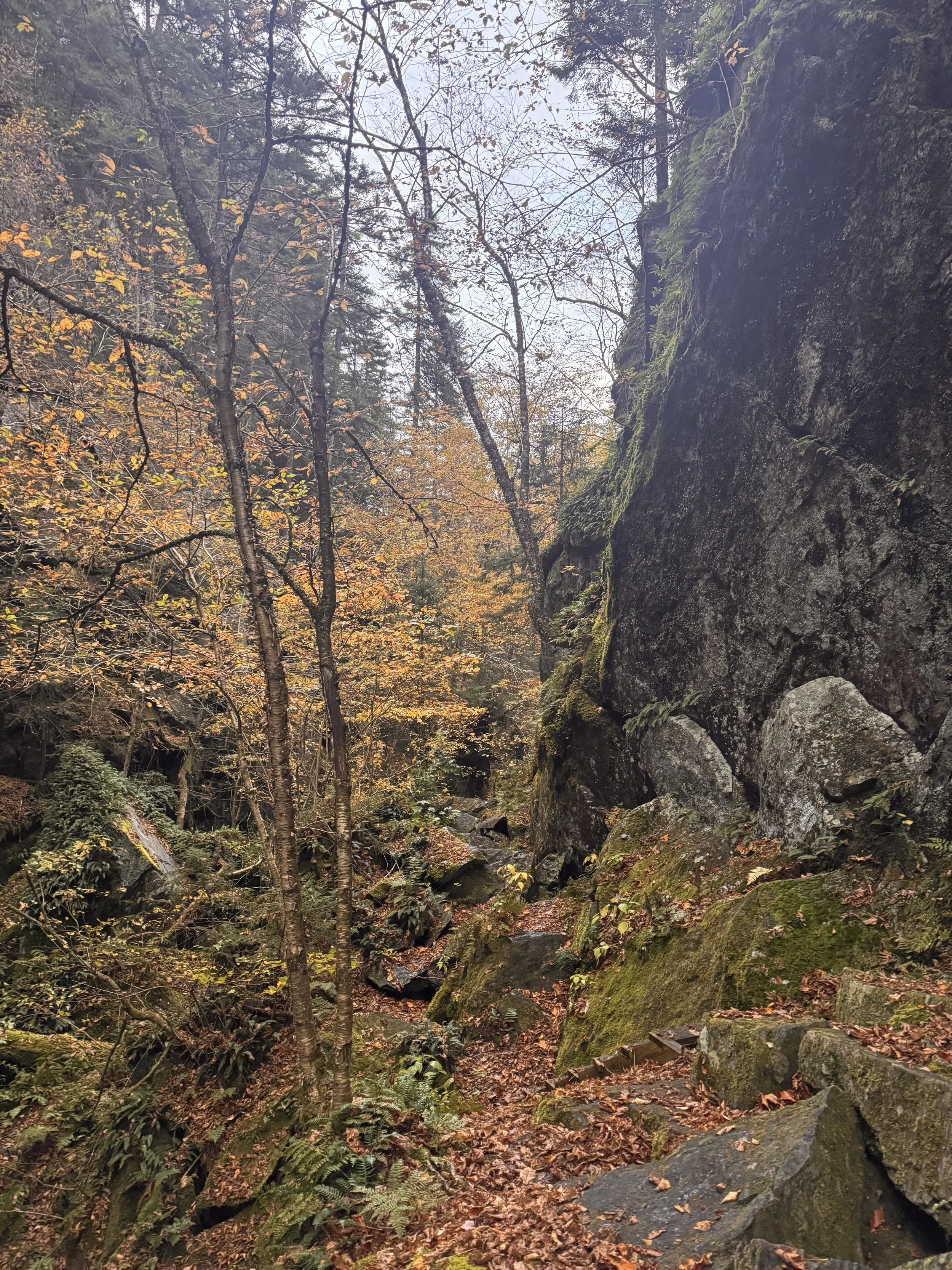
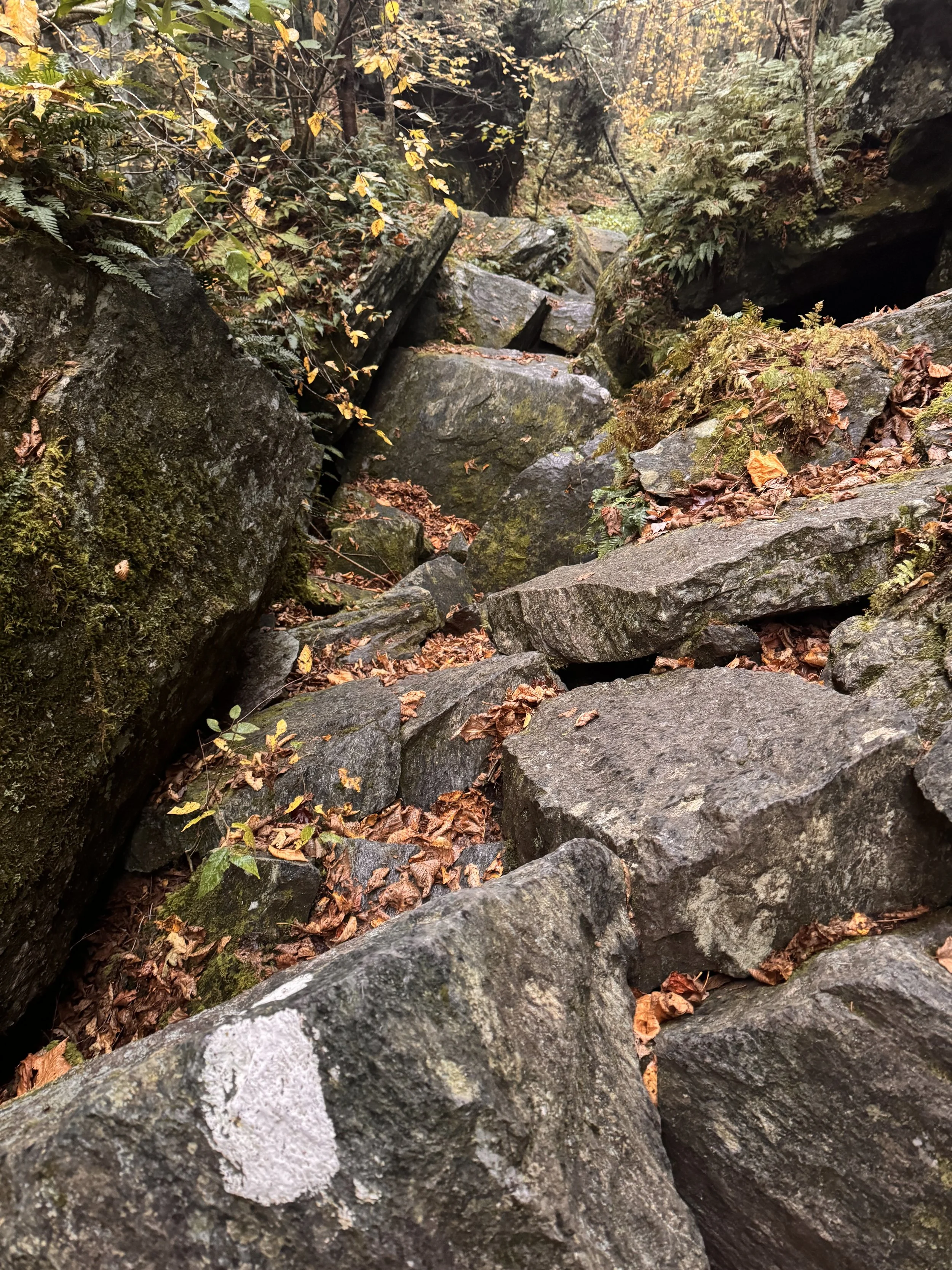
It was slow going over the large square boulders, but fun.
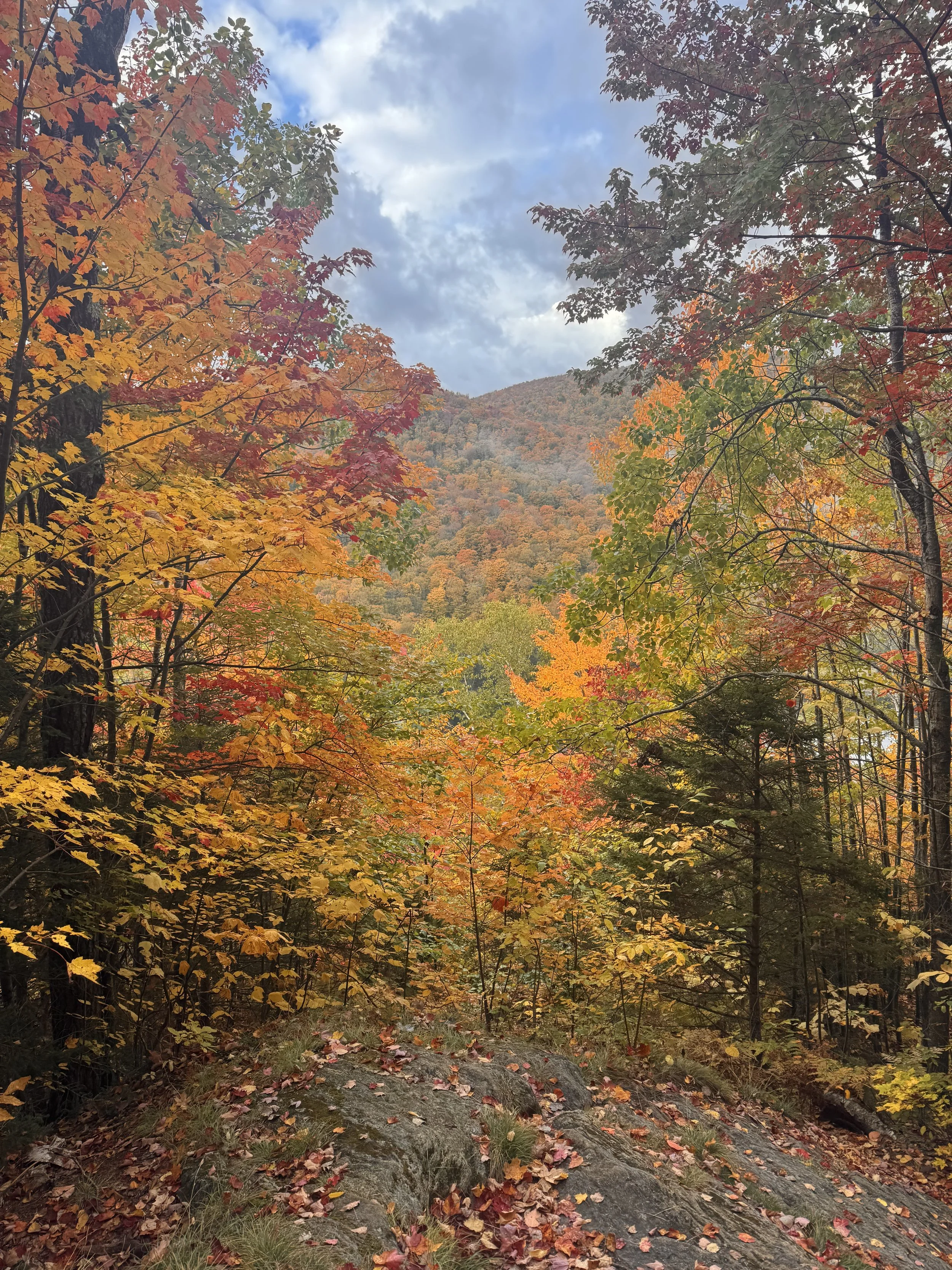
After the gulch, the trail started climbing. I had about 2500’ up to the top of Belvidere. As usual, the forest was full of beautiful fall colors and the climbing was long, but not technical and overly slow.
I took the side trail off the LT to the summit of Mt Belvidere and up the fire tower.
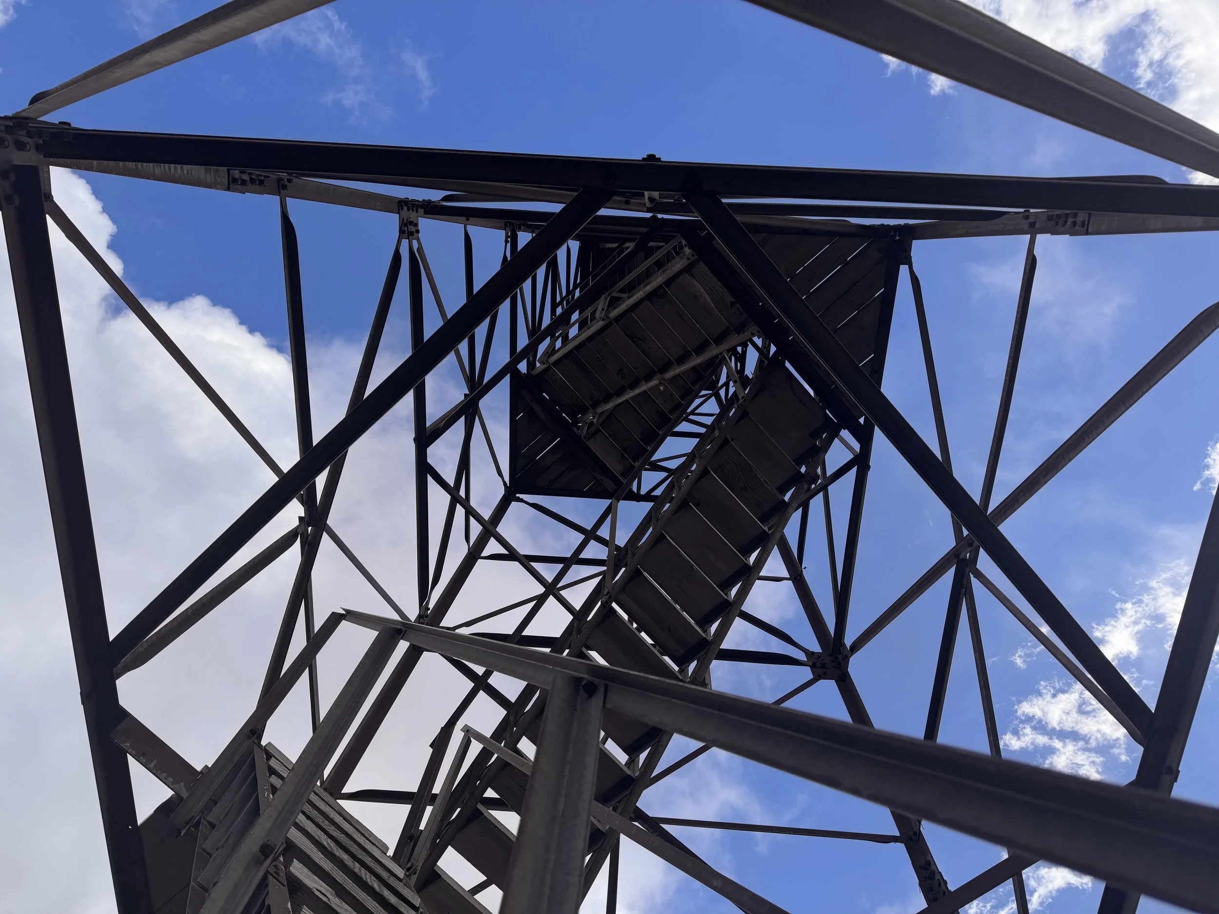
It was so windy and cold up there, but the view was 360 degrees.
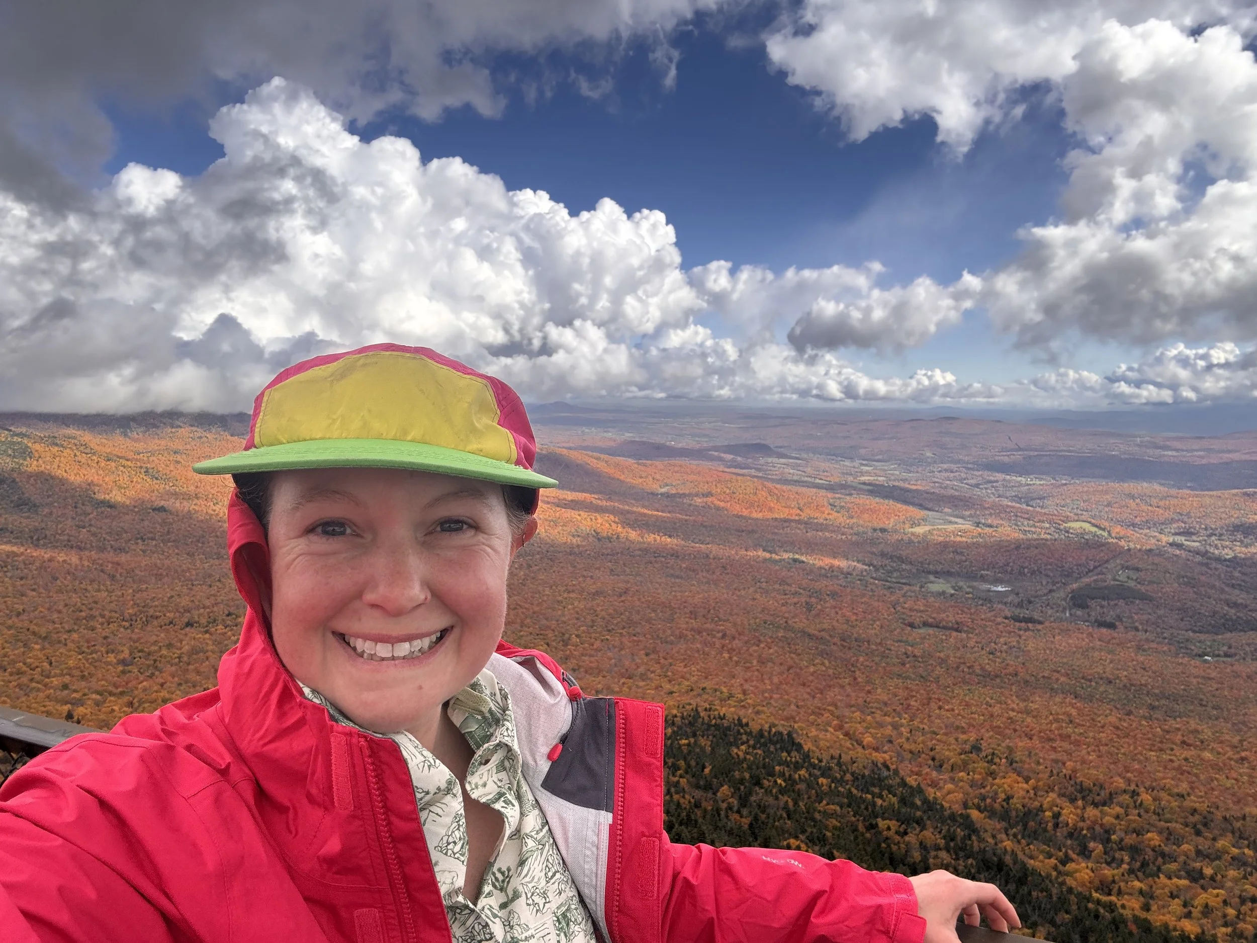
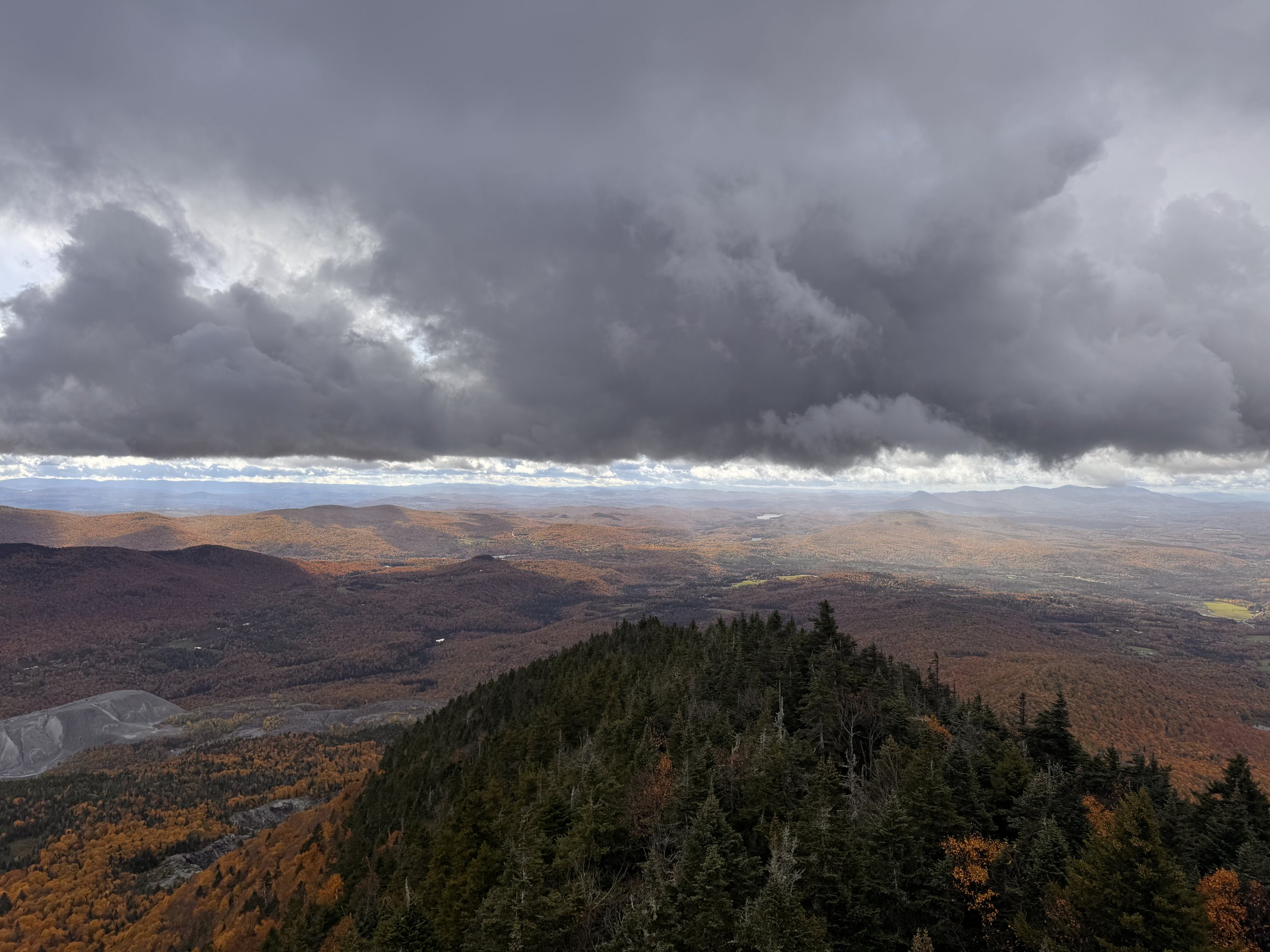
I could also clearly see the bad weather that was on the way.
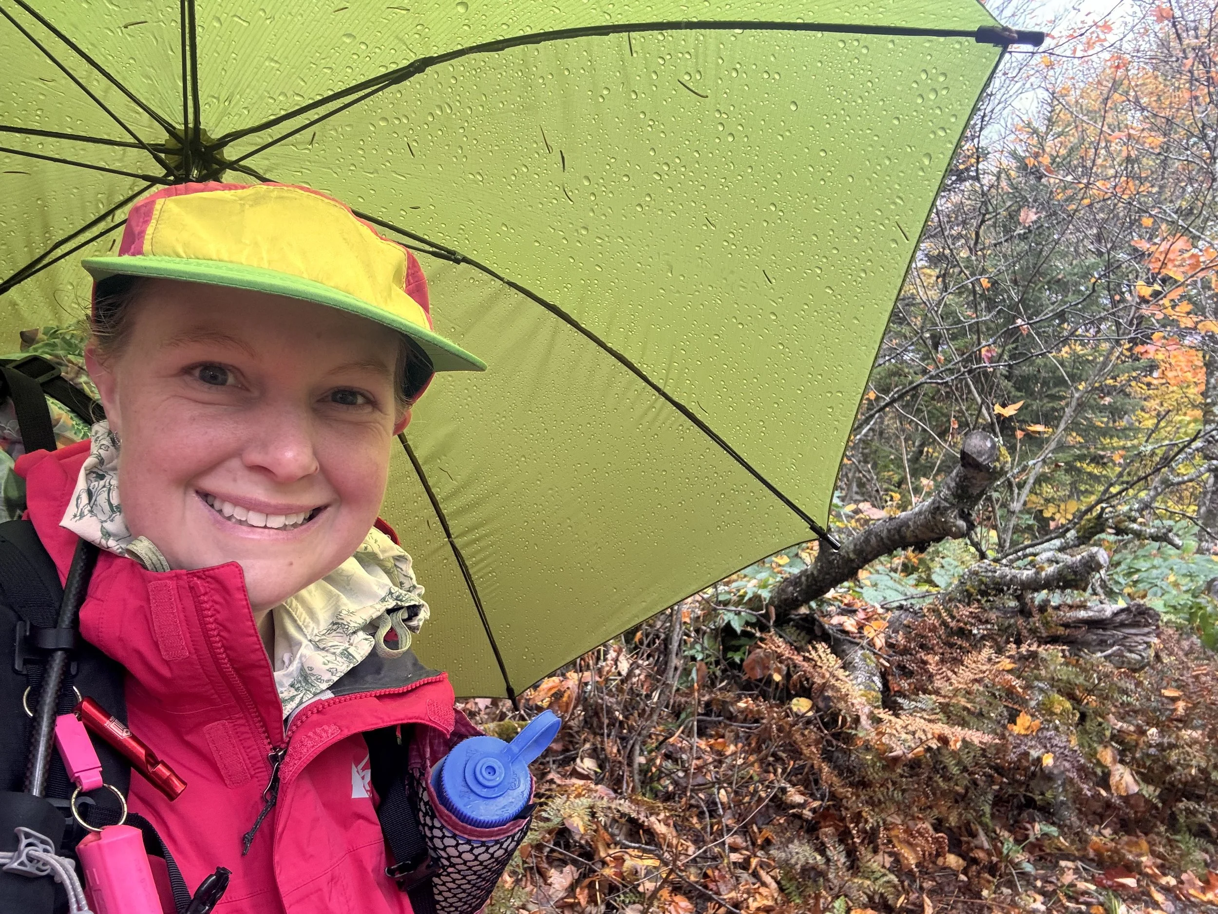
The day was cold with hail and my rain jacket, rain mittens, and umbrella were out for much of the rest of the day.
I stopped at Tillotson Camp for lunch undercover. The storm cleared up a little and I had some sun to warm up in while I ate a hot lunch.
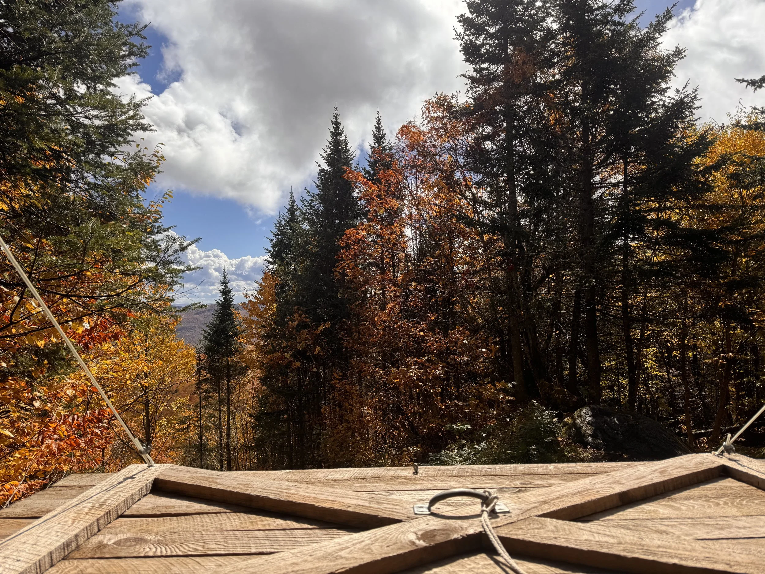
The afternoon was a lot of small mountains. Up and down.
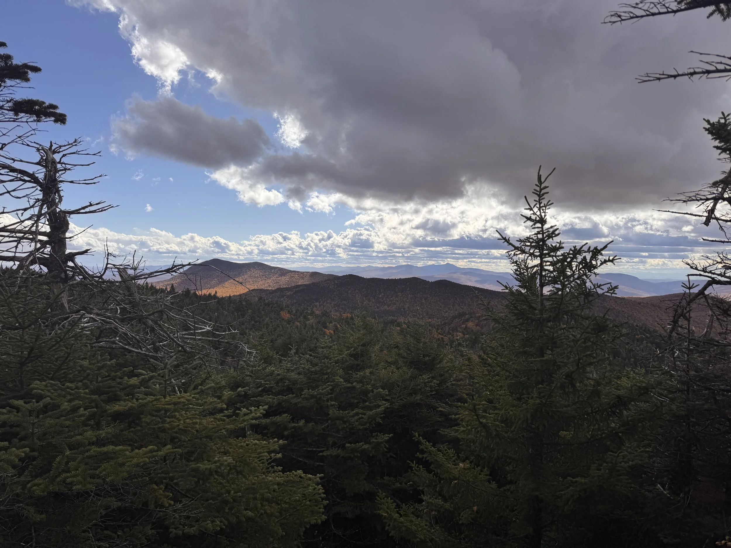
I had hopes of making it to Jay Camp for the night, but the last few climbs were not fast. It was another shorter mile day with tons of elevation gain and loss(18M and 6900’ up/5800’ down). I did not make it. There was a series of 3 pretty equal sized mountains in a row I needed to get over. I made it over the first before it got dark. I found a flat spot in the saddle between mountains 1 and 2 to pitch my tent for the 2nd time on this hike.
Day 19
Last day on the Long Trail!
The morning was cold. Below freezing and very windy. The wind was ripping through camp all night and I had to wear ear plugs to fall asleep. Another day of wearing many of the clothes I packed.
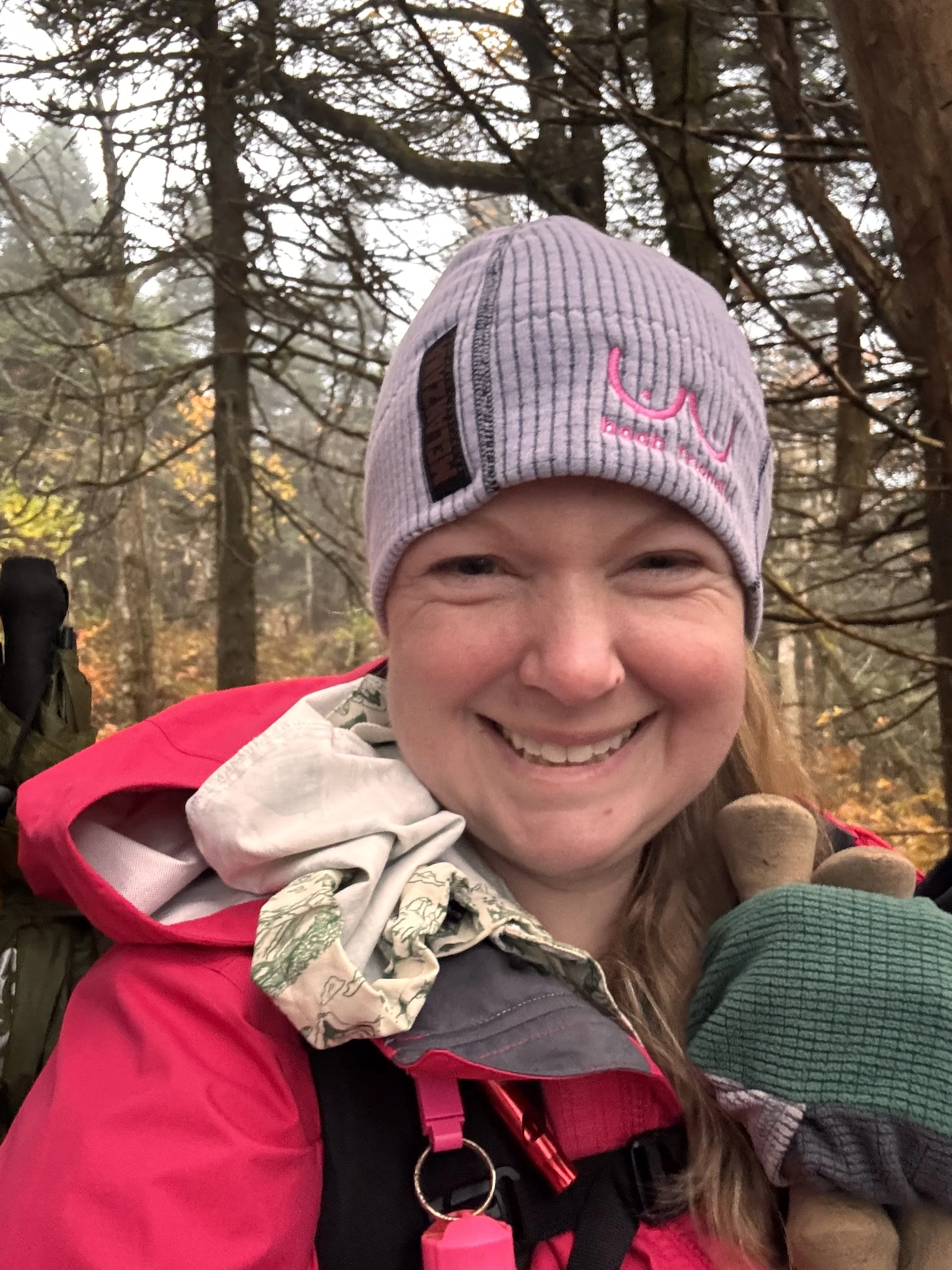
I started the day in shorts, but I ended up needing to put my fuzzy sleep pants back on. It was just too cold, windy, and humid. I made it up and over the remaining two mountains before dropping down to Jay Pass. Across the road, I stopped at Jay Camp to investigate the privy before starting the long climb up Jay Peak, the last big mountain and ski resort of the trail.
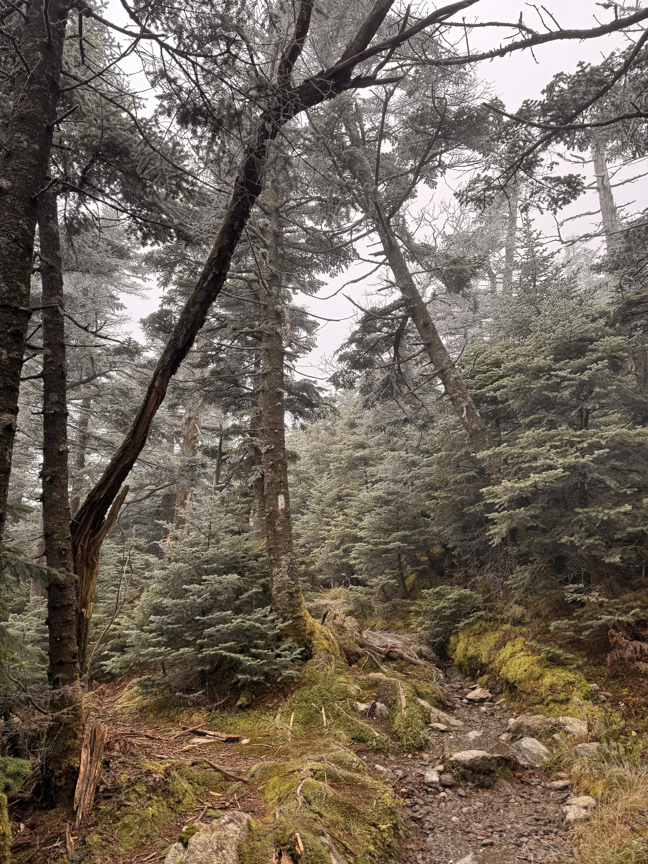
The closer I got to the summit, the more frosty everything became.
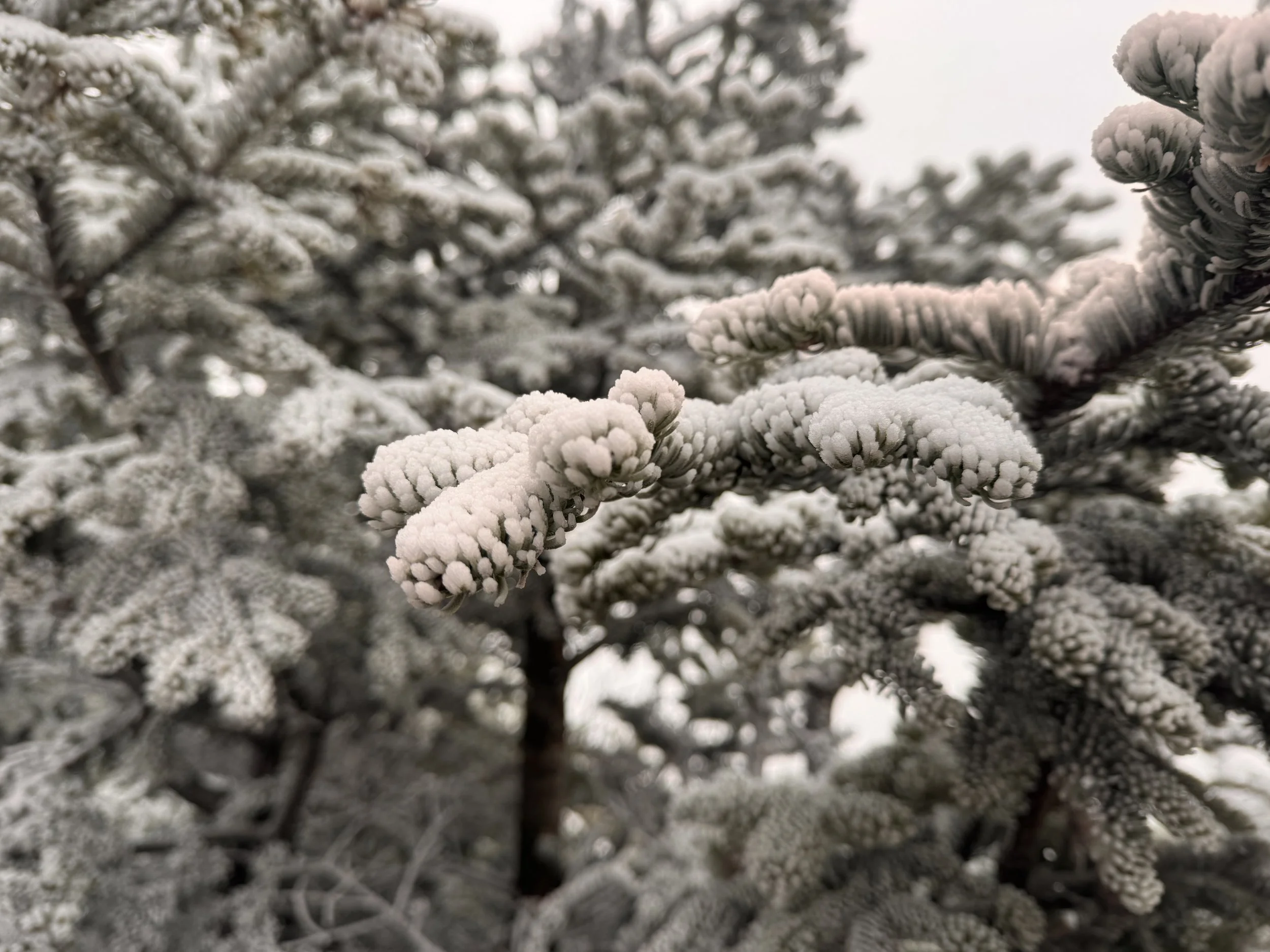
The climbing got a little more involved, but still pretty easy, as I got to the final rocky cap.
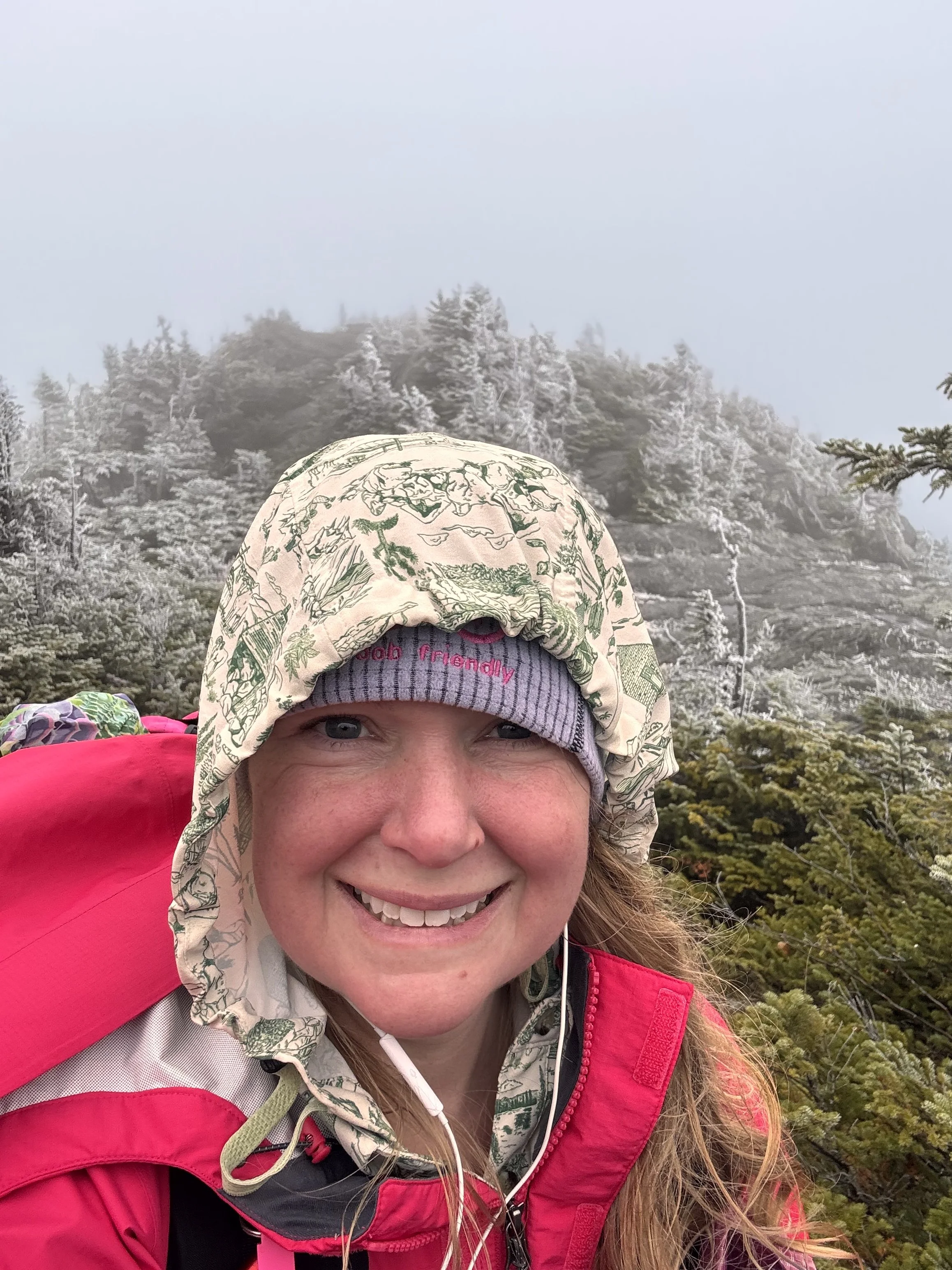
The wind and cold were drastically, and expectedly, worse on the exposed summit. My thermometer read 28, but with the wind chill, it had to be much less.
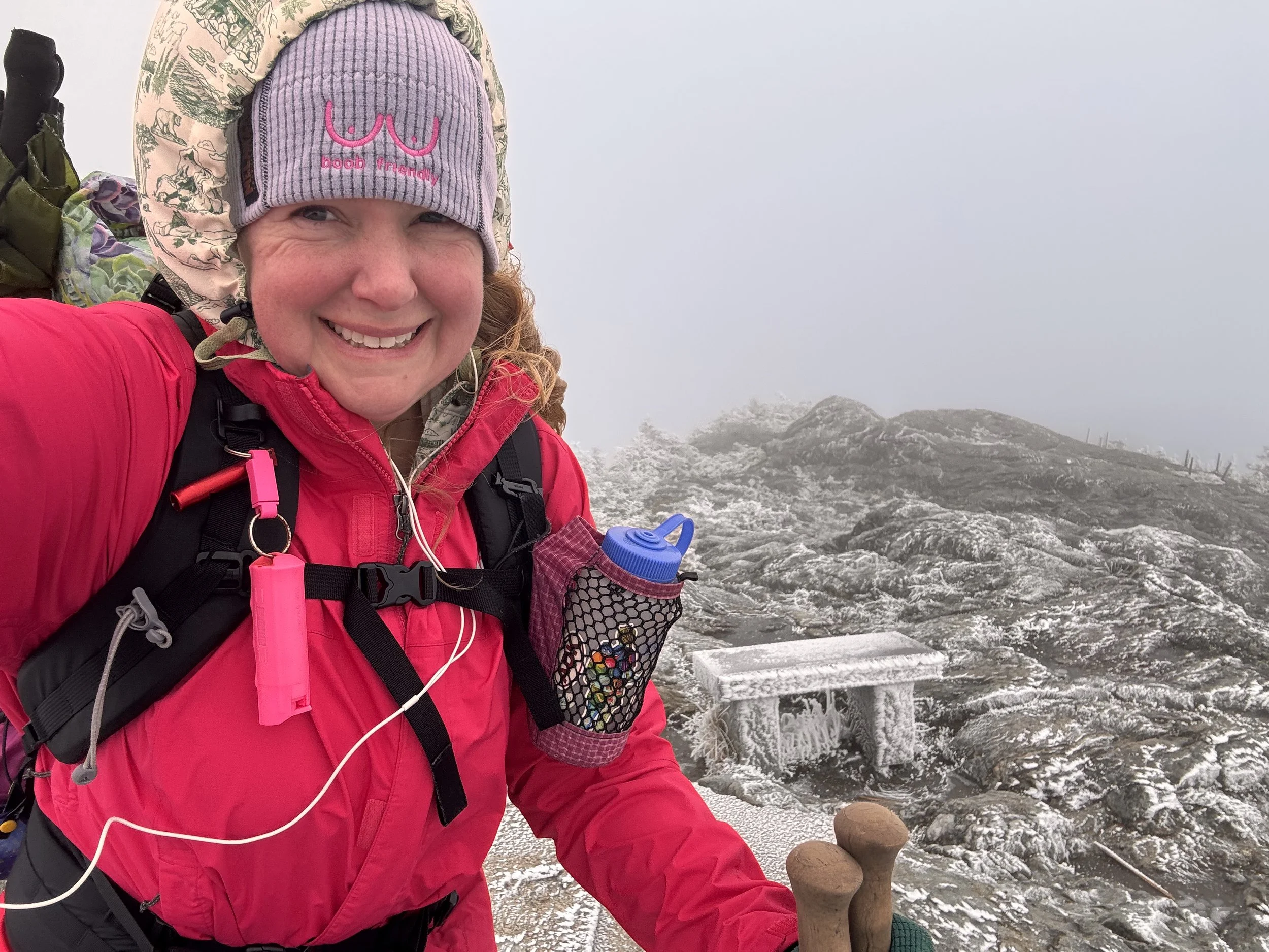
A thick layer of rime ice/frost/snow was on everything and all the puddles were ice.
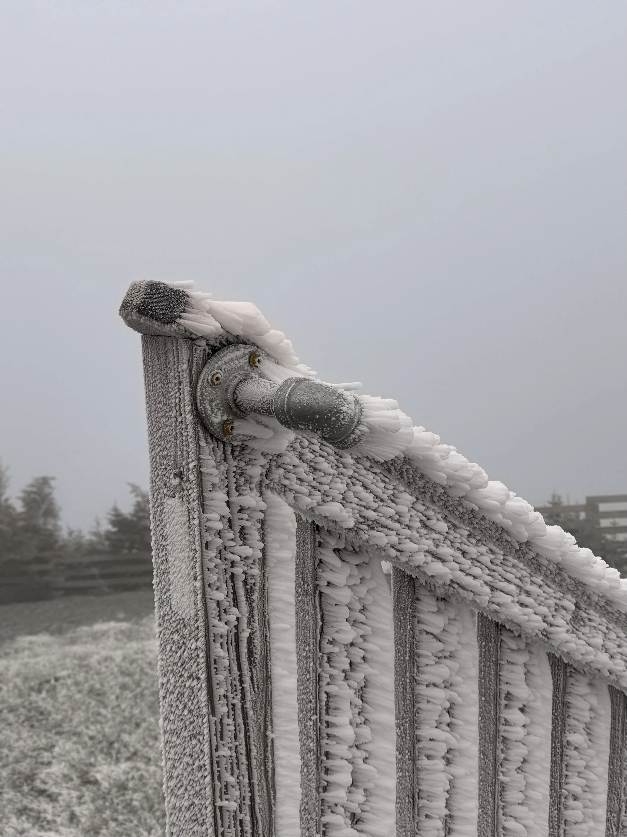
I quickly grabbed a few more photos before heading down a ski slope to hopefully get out of the wind.
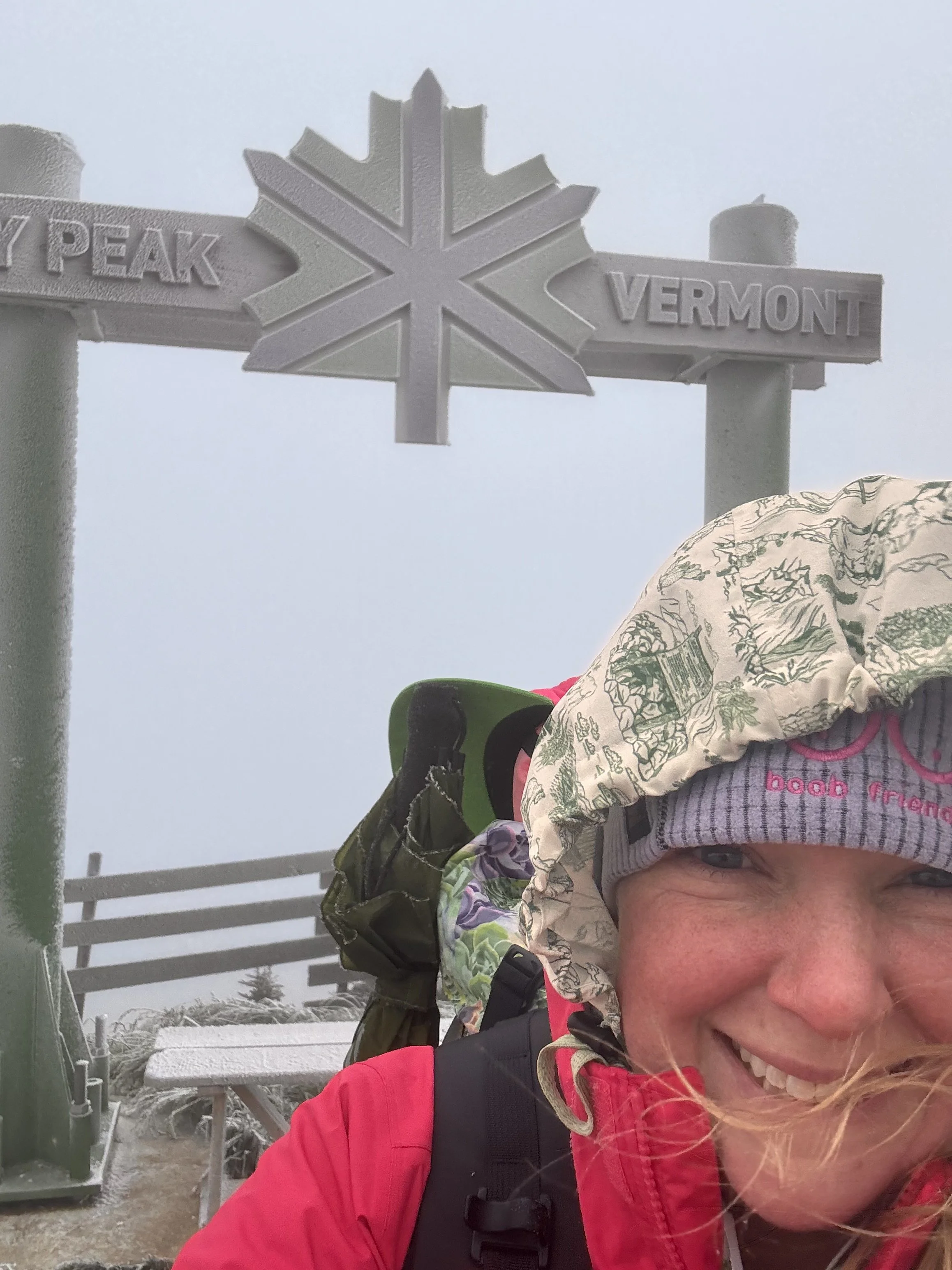
The ski slope was like a chute for the wind. Luckily I wasn’t walking on it too long before the trail turned into the trees again.
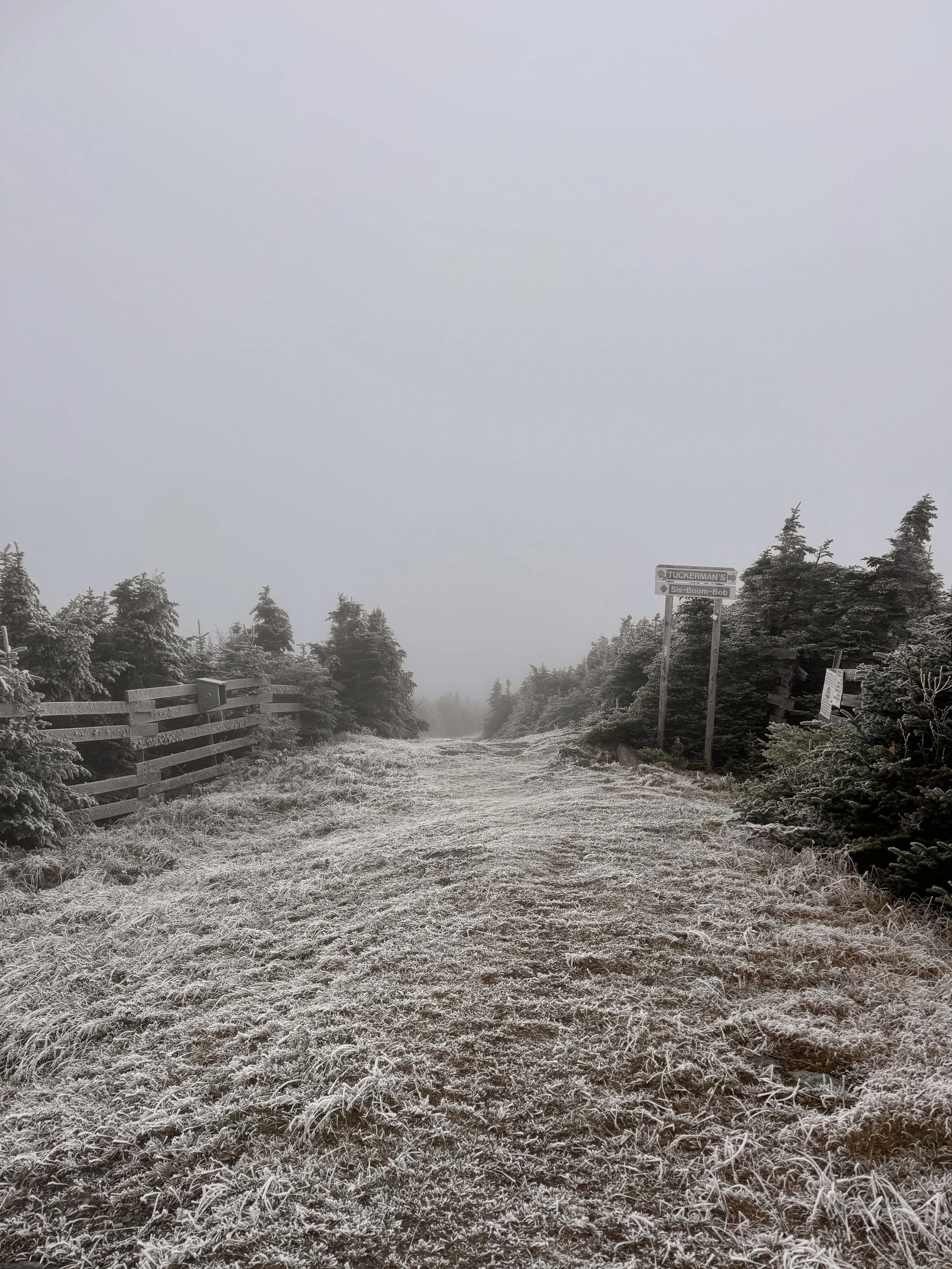
The wind was bearable in the trees and the ice lessened as I got lower.
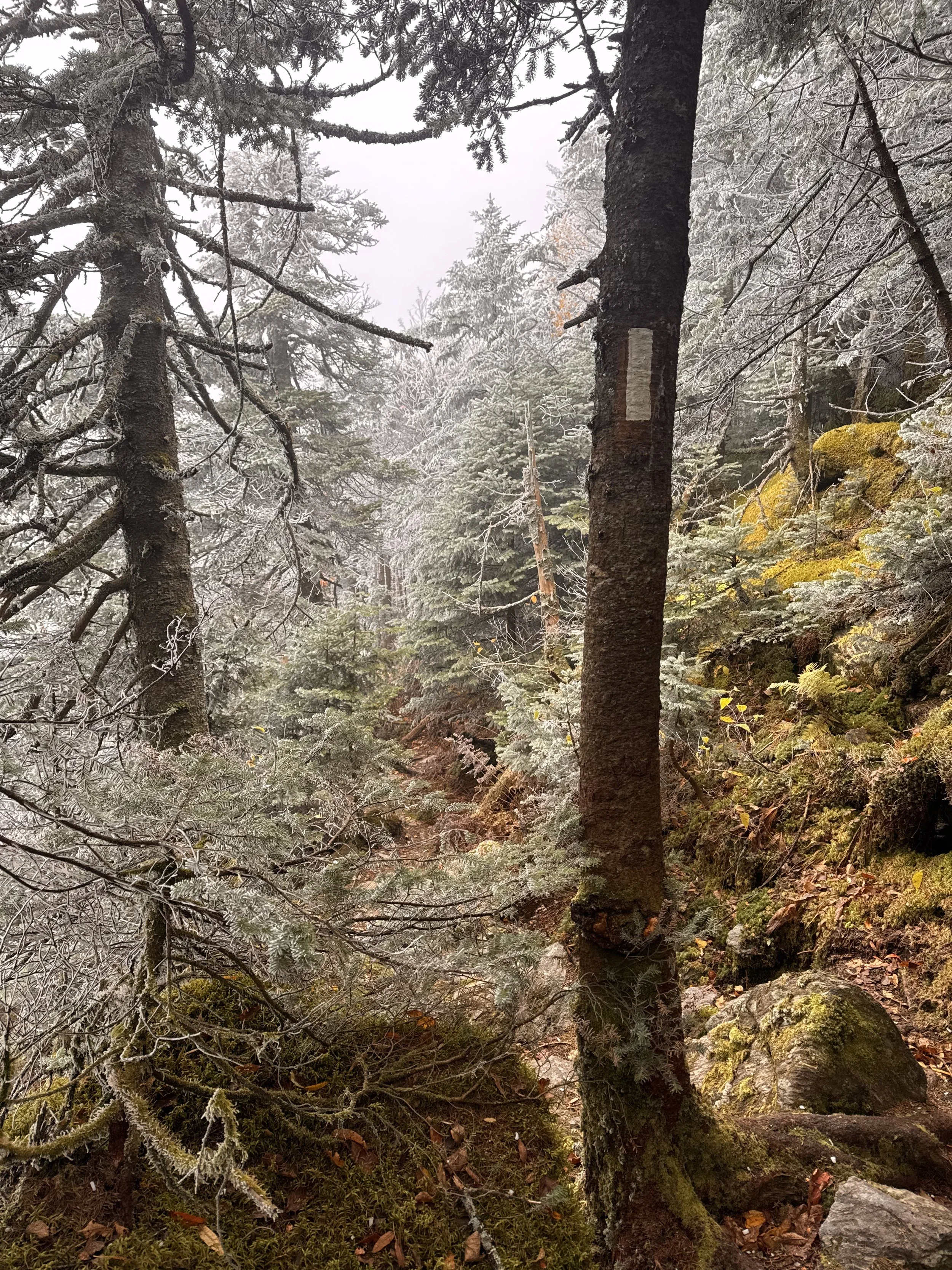
The rest of the day to the terminus was spent counting down the climbs and walking as quickly as I could. I reached the terminus at 1500 to find my spouse waiting for me. He had hiked in and brought me chocolate milk, donuts, and cookies. So sweet.
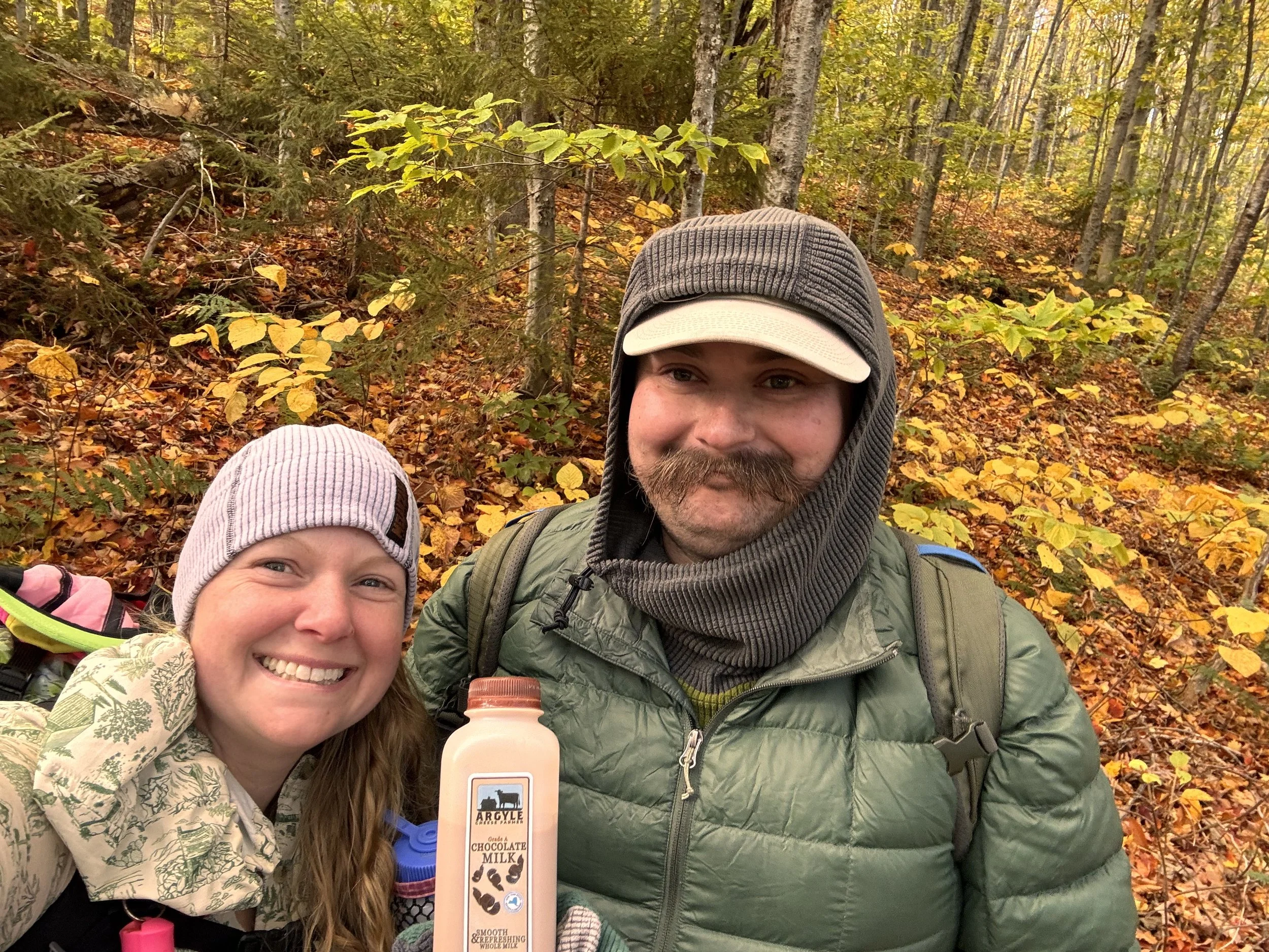
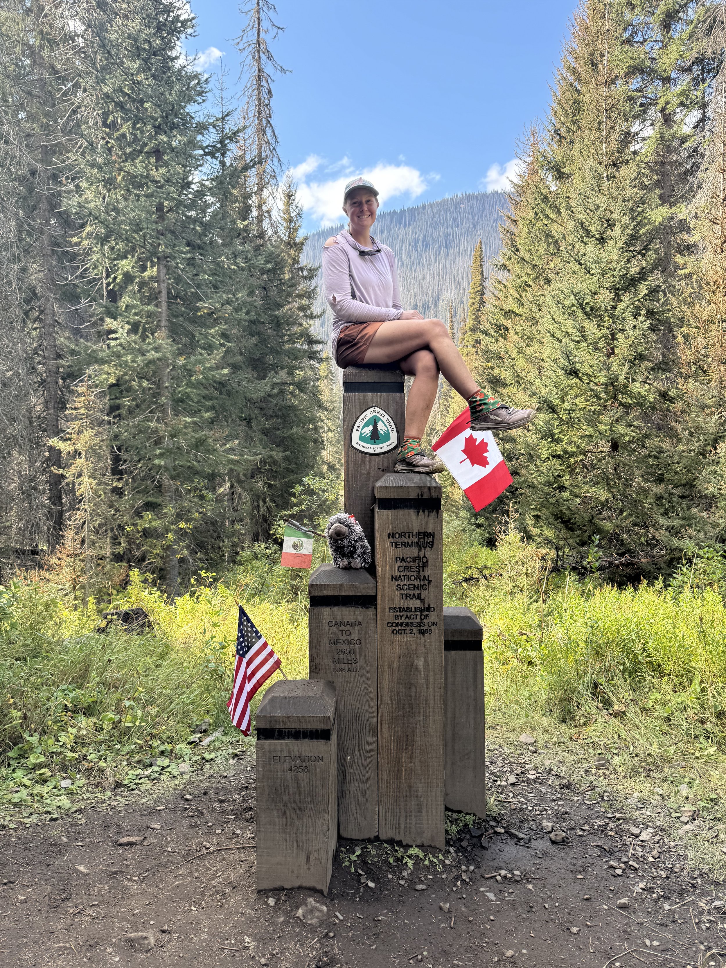
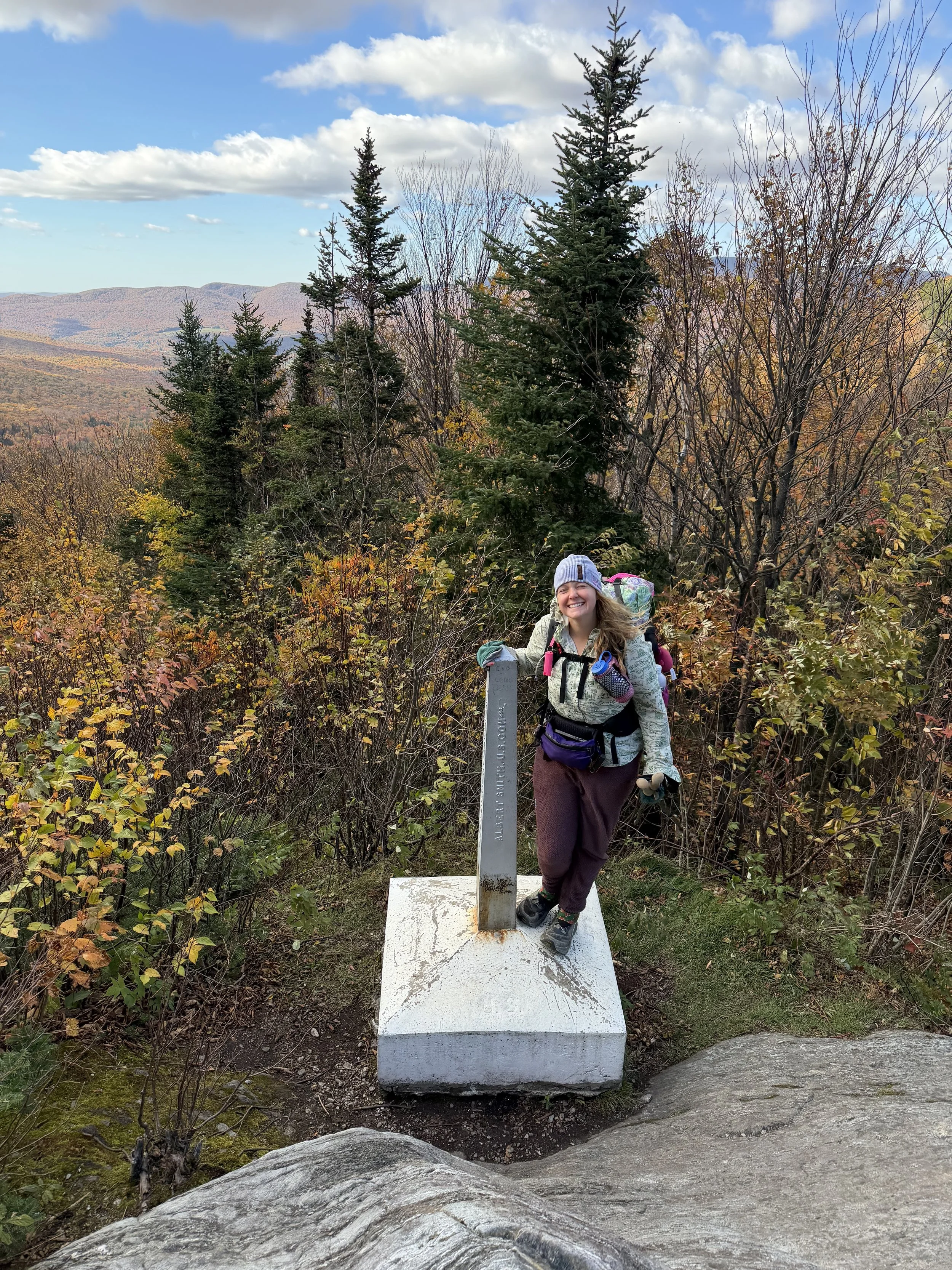
I took photos with the terminus sign and we went exploring to find the border monument.
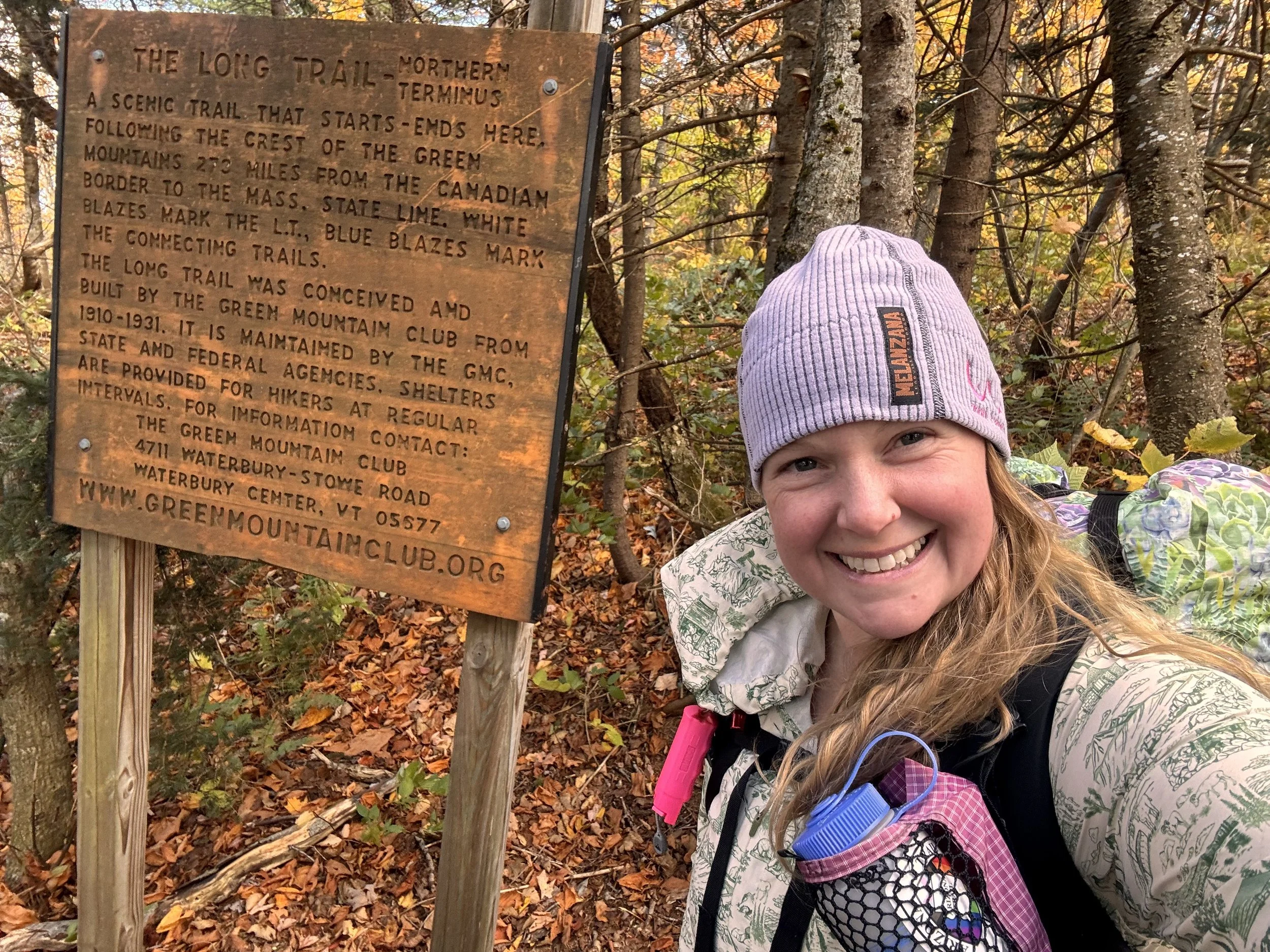
We found it down a little bit and I got a few more photos with it before we began the 1.3 mile trek to the car.
I signed the register at the shelter on the way out and the road head register. We hopped in the car and began the drive back to NY where we’d stay for the night.
Long Trail complete!
Thanks for following along! Check back for future posts. I have many more adventures planned.